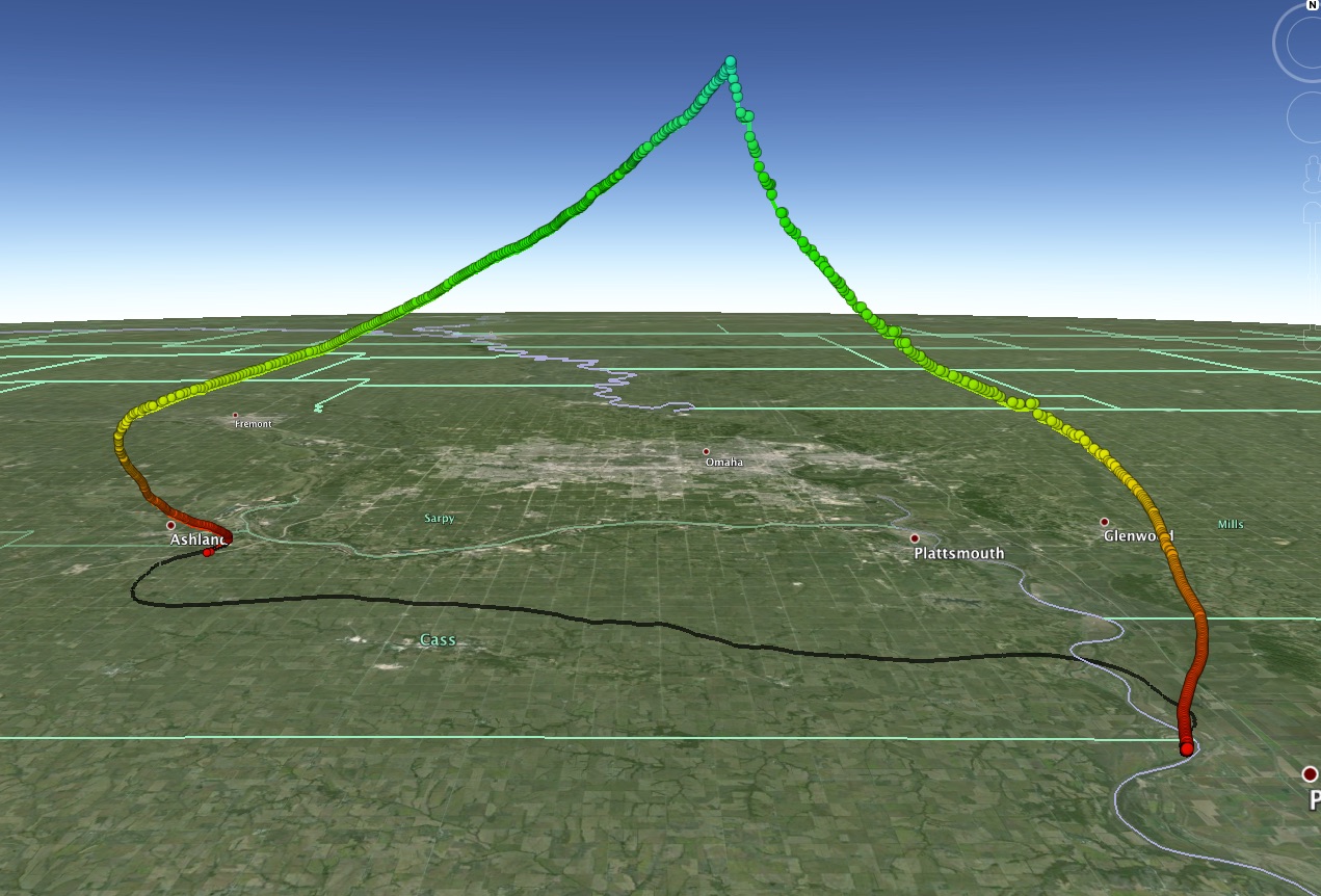
Here is a screenshot from the Google Earth file from our launch on 3/14/15
Here is the first panorama video from the release of the balloon. It is not stitched together and relatively unprocessed.
This following footage is the Go Pro 2 camera that was attached to the bottom pod for comparison to the panorama video. It has been compiled to fit on the webpage, so the resolution has been reduced.
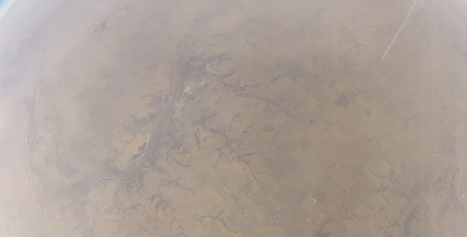
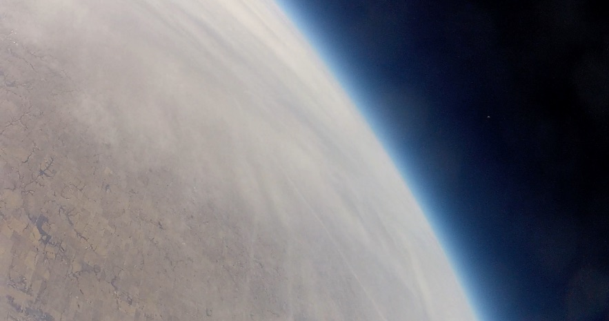
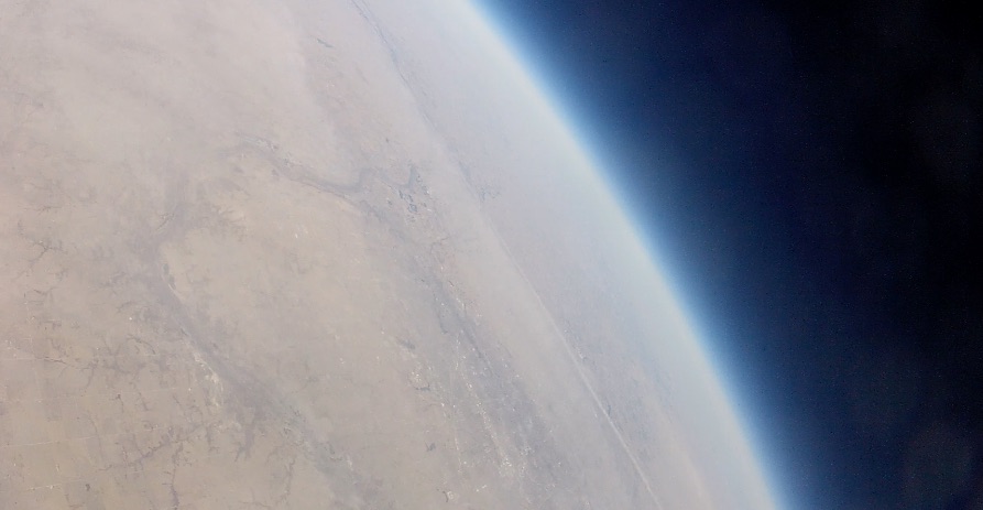
Here are a few screenshots grabbed from the (older) GoPro2 that was attached to the bottom pod.
In this first image, you can see the contrails and an airplane from overhead.
We are working on the video at higher altitudes and will update as those become available.
ETA: Here is a panorama of the three cameras at a higher altitude. It seems that there was still quite a bit of turbulence.
One of the three new cameras caught the burst.
One thought on “Data and Video from KuL3D flight”