We had planned our 40th launch for Oct. 18th, but we were unable to get the lifting gas delivered in time, so we rescheduled for Nov. 8th, 2014. I ran a flight prediction about 5 days before the launch and it had the landing at St. Joseph, Missouri. This is over two hours away and would have required that we send out an advance team to get data over the entire flight because there would be no way possible for us to launch, leave, and get there in time to see it land. The closer you get to the time of the launch, the weather data gets more accurate, so I ran another prediction the day before the launch and it had the landing near Falls City, Nebraska which is near the Nebraska and Kansas border (about 80 miles away). This is on the cusp of the distance we could navigate right after the launch in time to possibly see the landing. Because of the easier logistics, we decided to have just one chase vehicle.
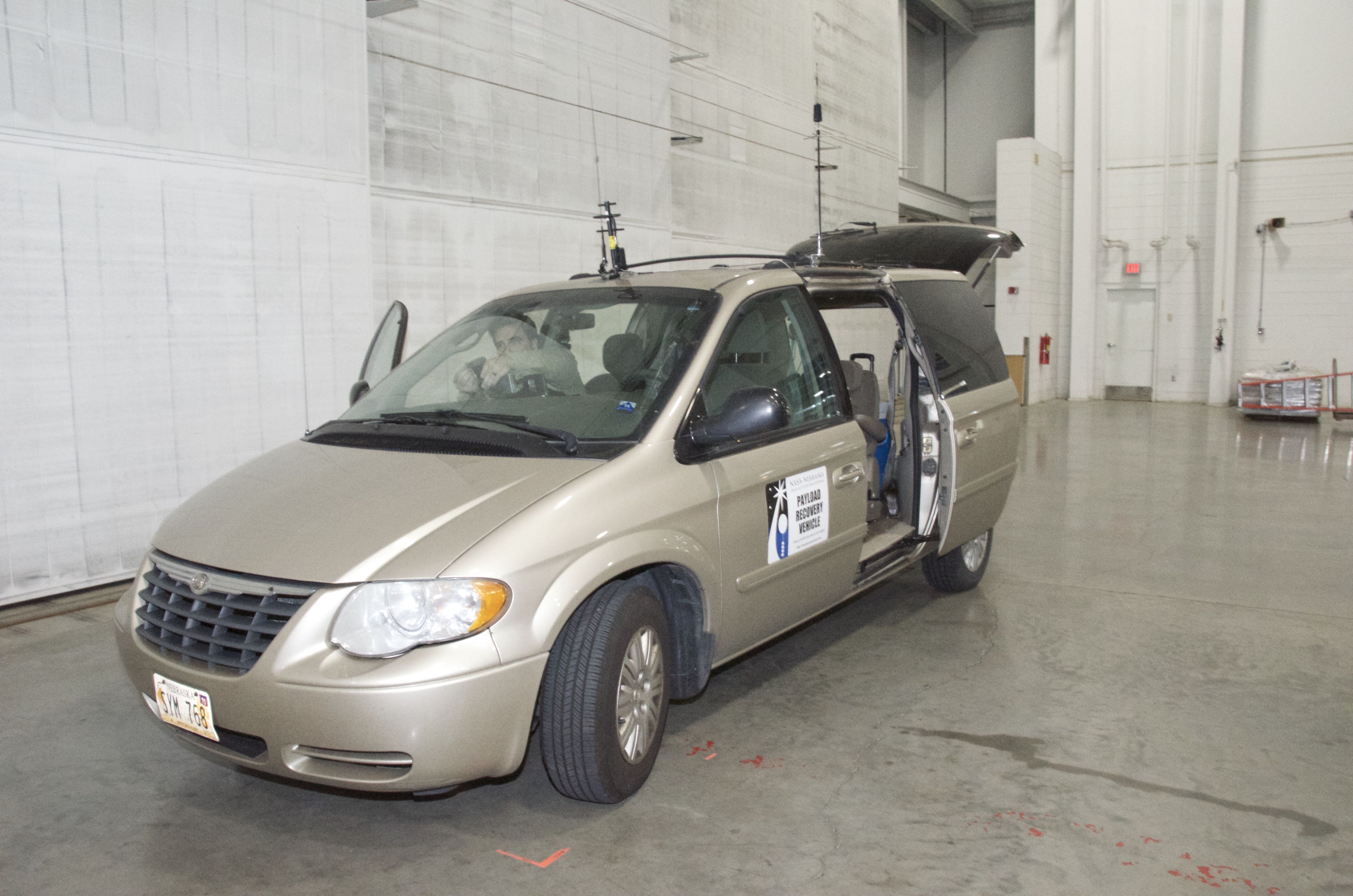
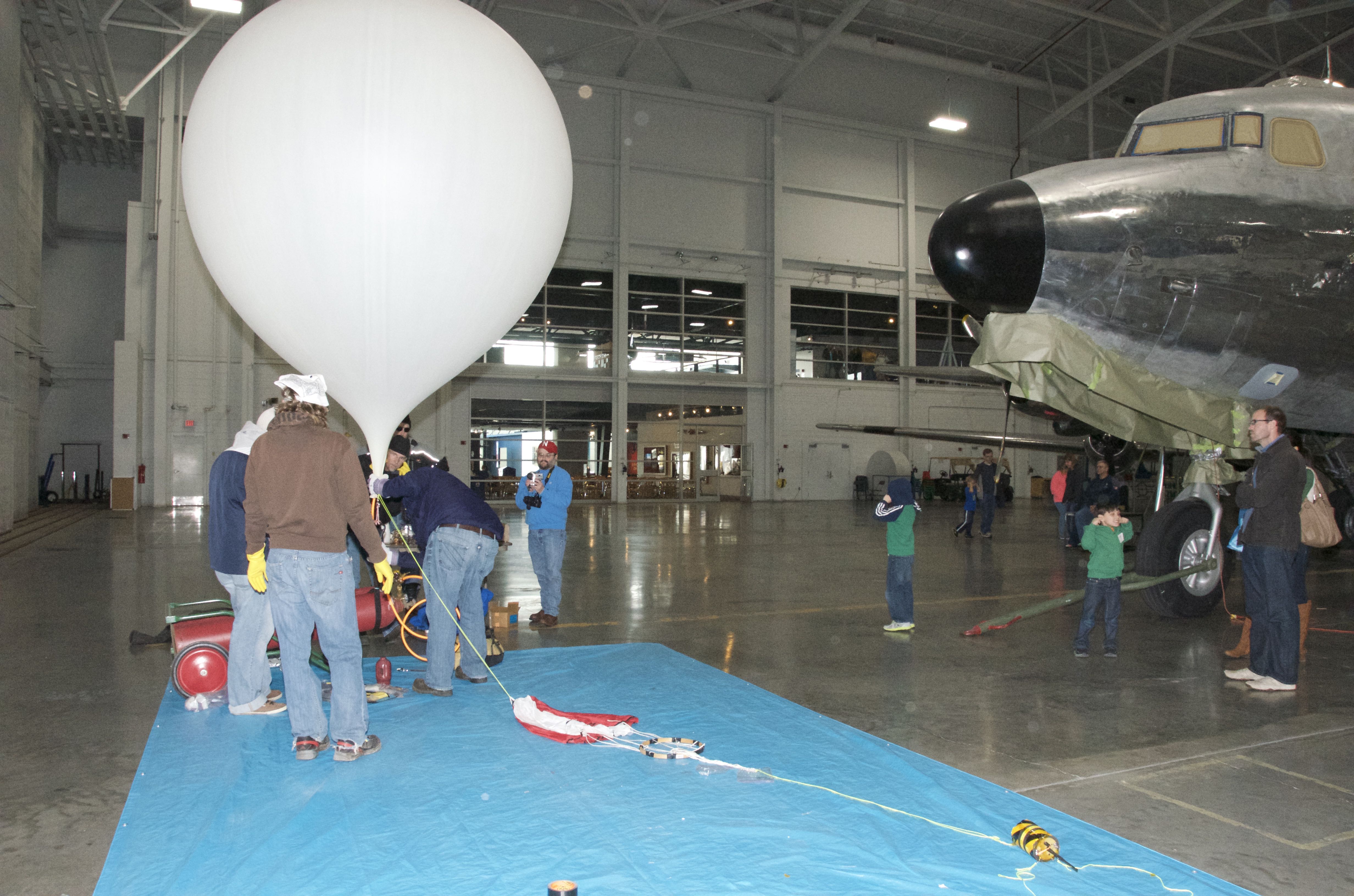
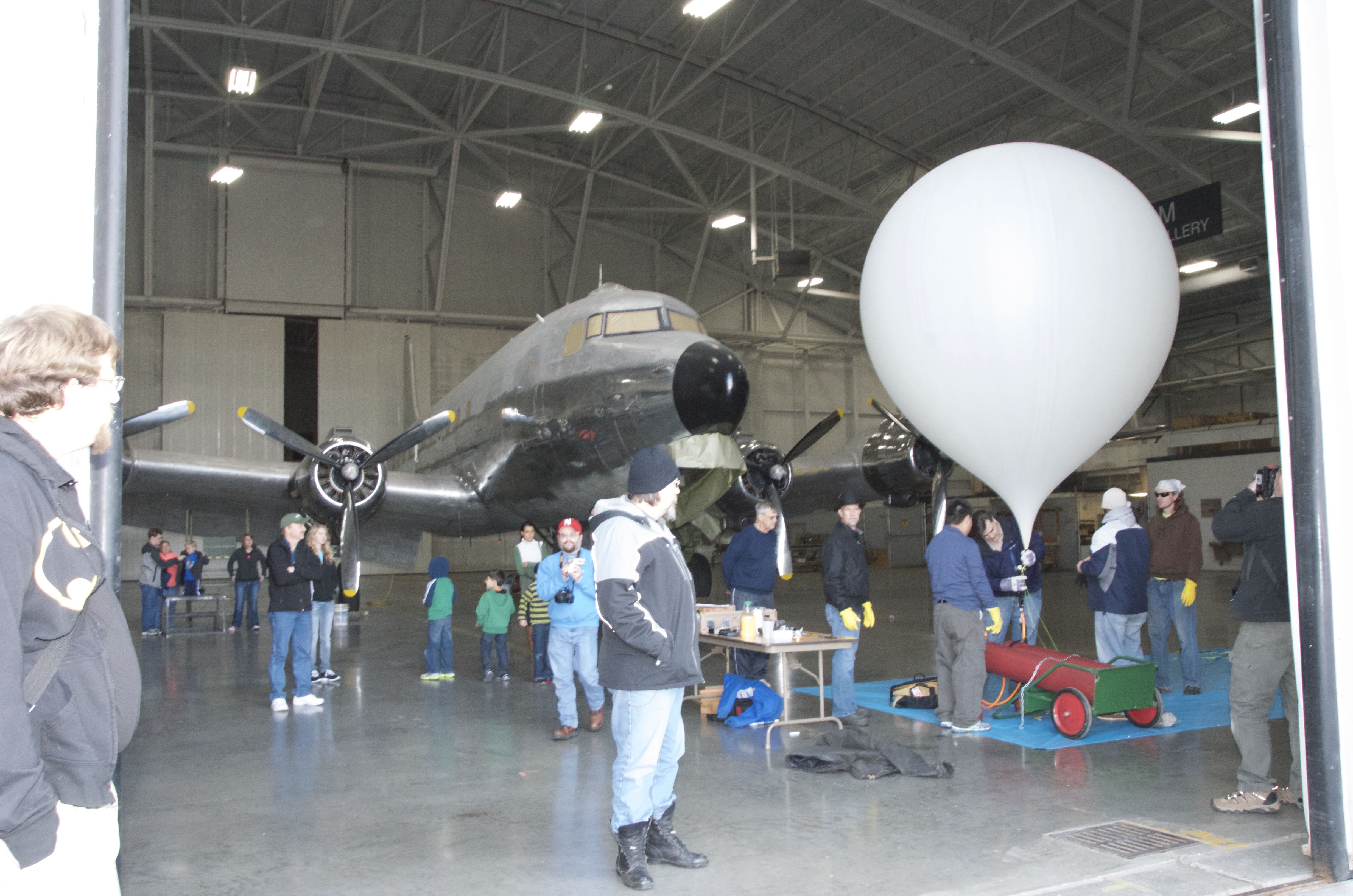
The forecast has cold weather (a polar vortex) in our near future, so we may taken advantage of the last nice weekend of the year. There was a bit of wind though, so we set up in the Restoration Hanger of the Strategic Air and Space Museum. We even prepared the van in the hanger where it was more comfortable.
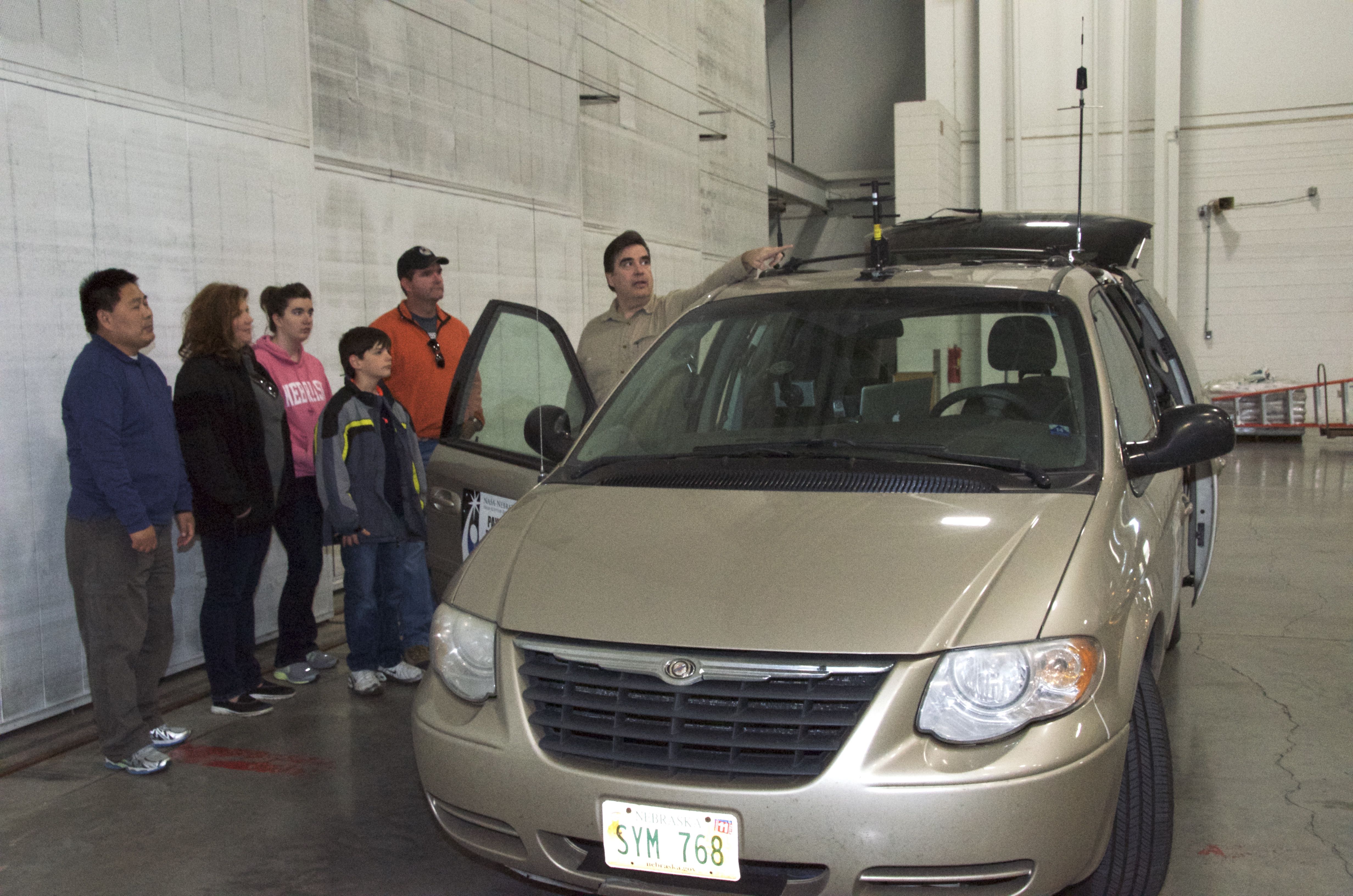
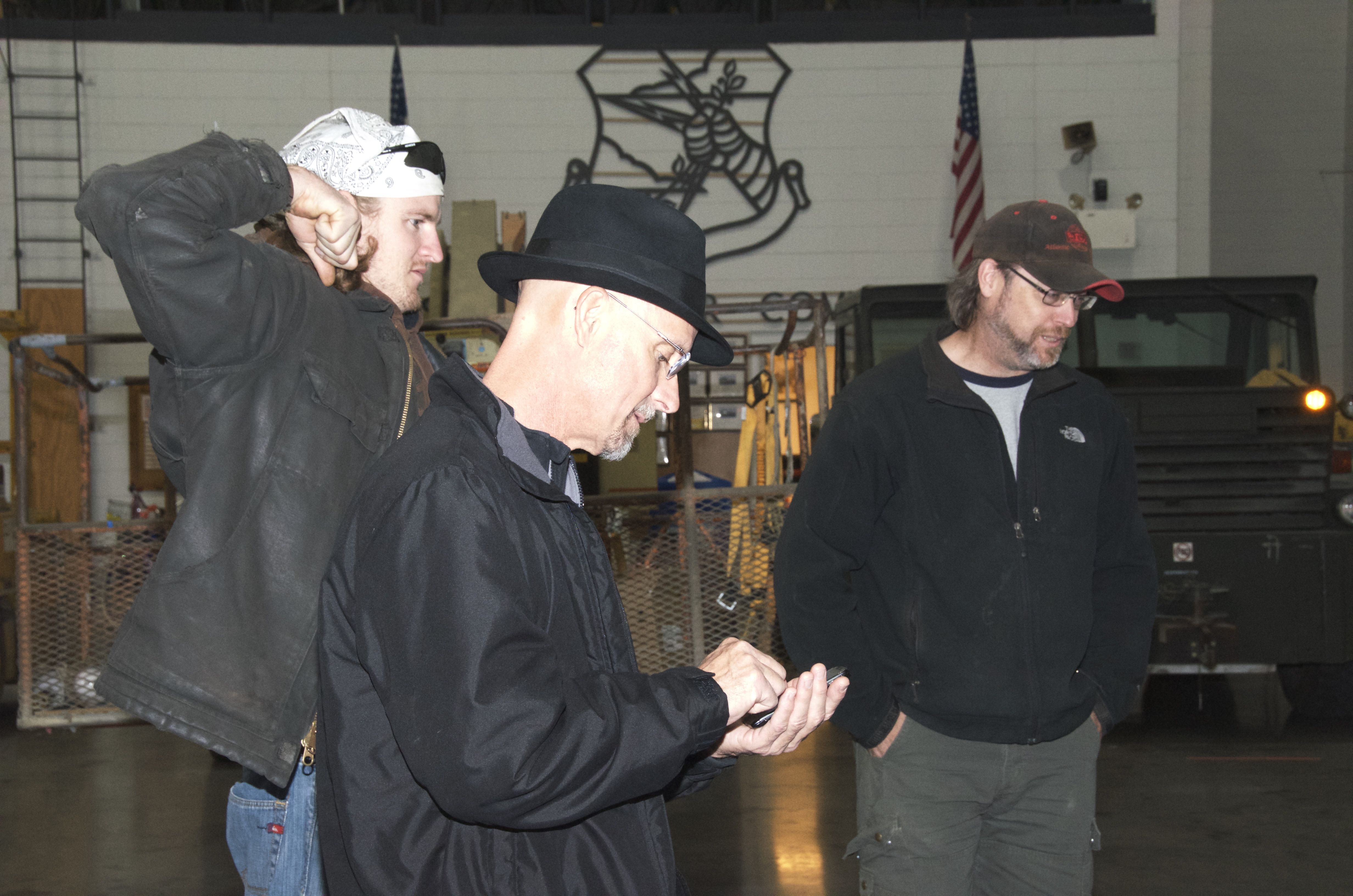
We invited a few groups of people to observe the launch. Jim Taylor from the Peter Kiewit Institute at UNO is the head of the HALON (High Altitude Learning Over Nebraska) group. He and his family stopped by to observe the preparations. We will be working with them to perform a HAB (High Altitude Ballooning) launch in the spring of next year for an event to take live data from a balloon and transmit it to NASA. Michael is pointing out the specialized equipment on the van that allows us to receive the data while the balloon is in flight.
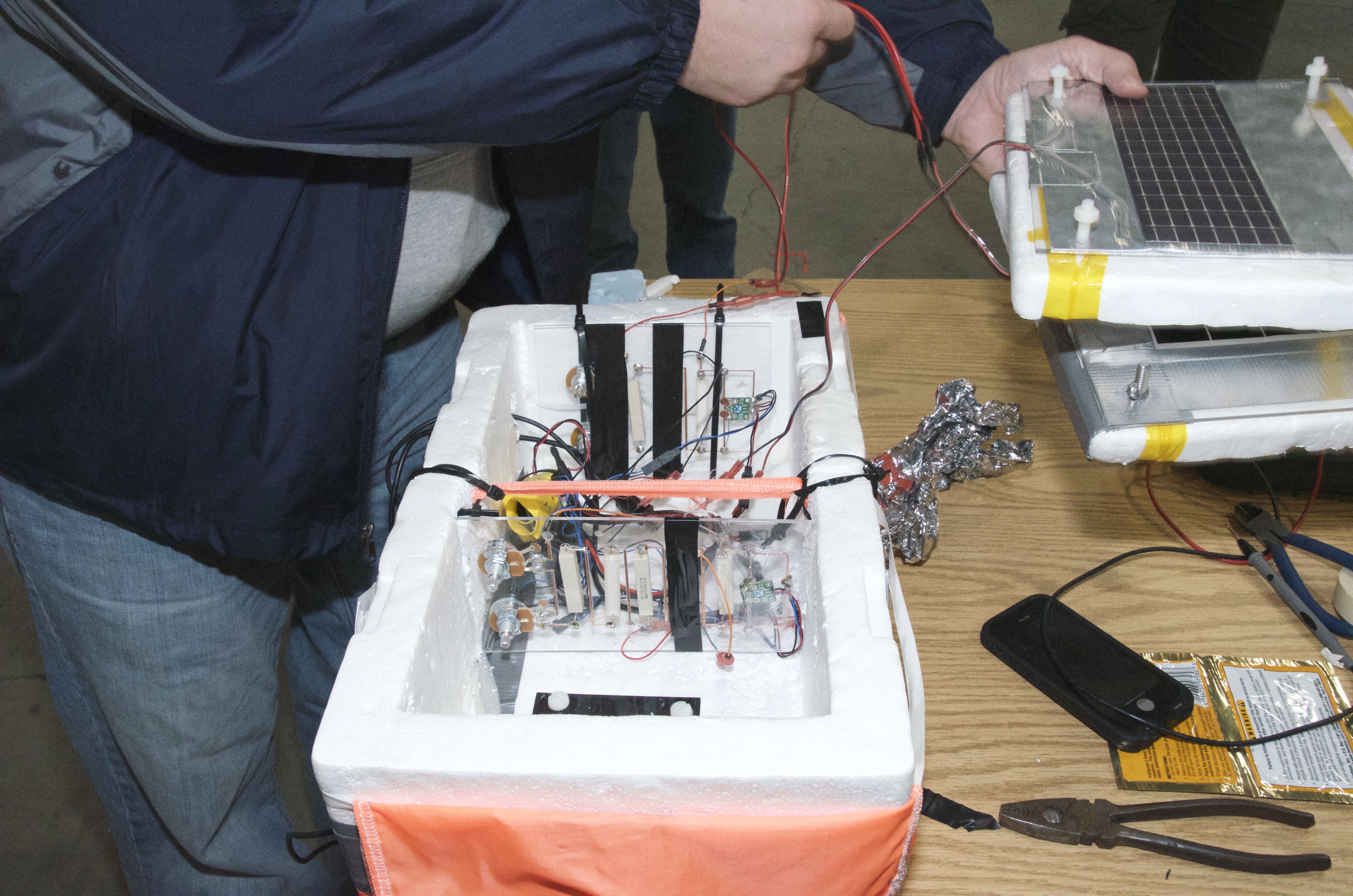
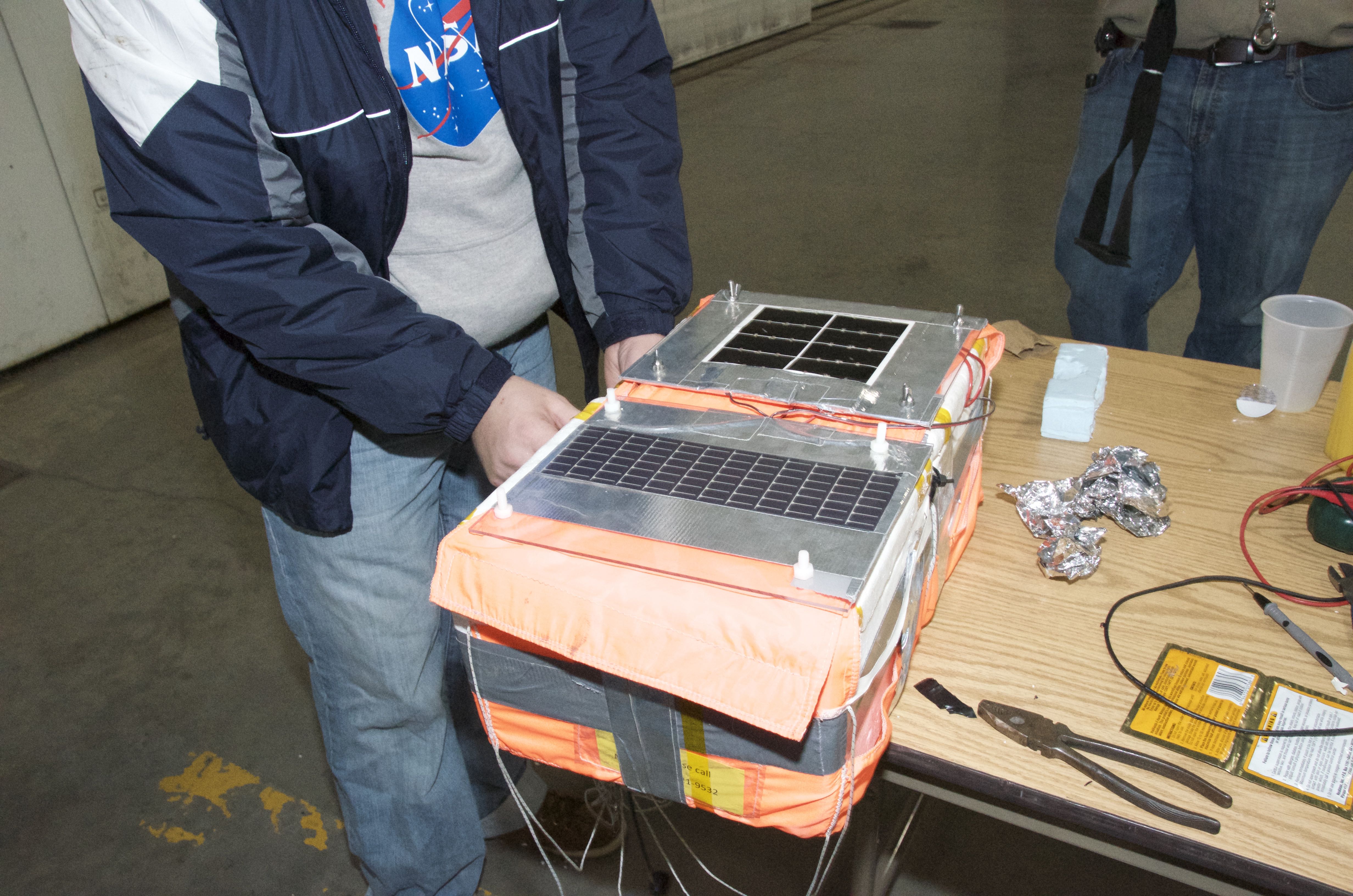
Christopher Chisholm is an information technology instructor at Metropolitan Community College and he has recently started working in MCC’s FabLab. He helped my student, Josh, build a more solid circuit for measuring the efficiency of the solar panels. He even used his soldering skills to make a last-minute adjustment to measure higher voltage.
The electronic boards were made by designing the circuitry on a computer and using a laser cutter to etch the pathways. The current probes we used were functioning properly and, after the fix, we were reading voltage from the system as well.
The launch ended up being over an hour later than we planned, which seems to be par for the course for us. Our being behind schedule ended up being a good thing for a group of storm chasers from Iowa who came to watch the launch and had been delayed by traffic from a parade in Bellevue.
We gained quite a few observers from the museum visitors by the time we started filling the balloon.
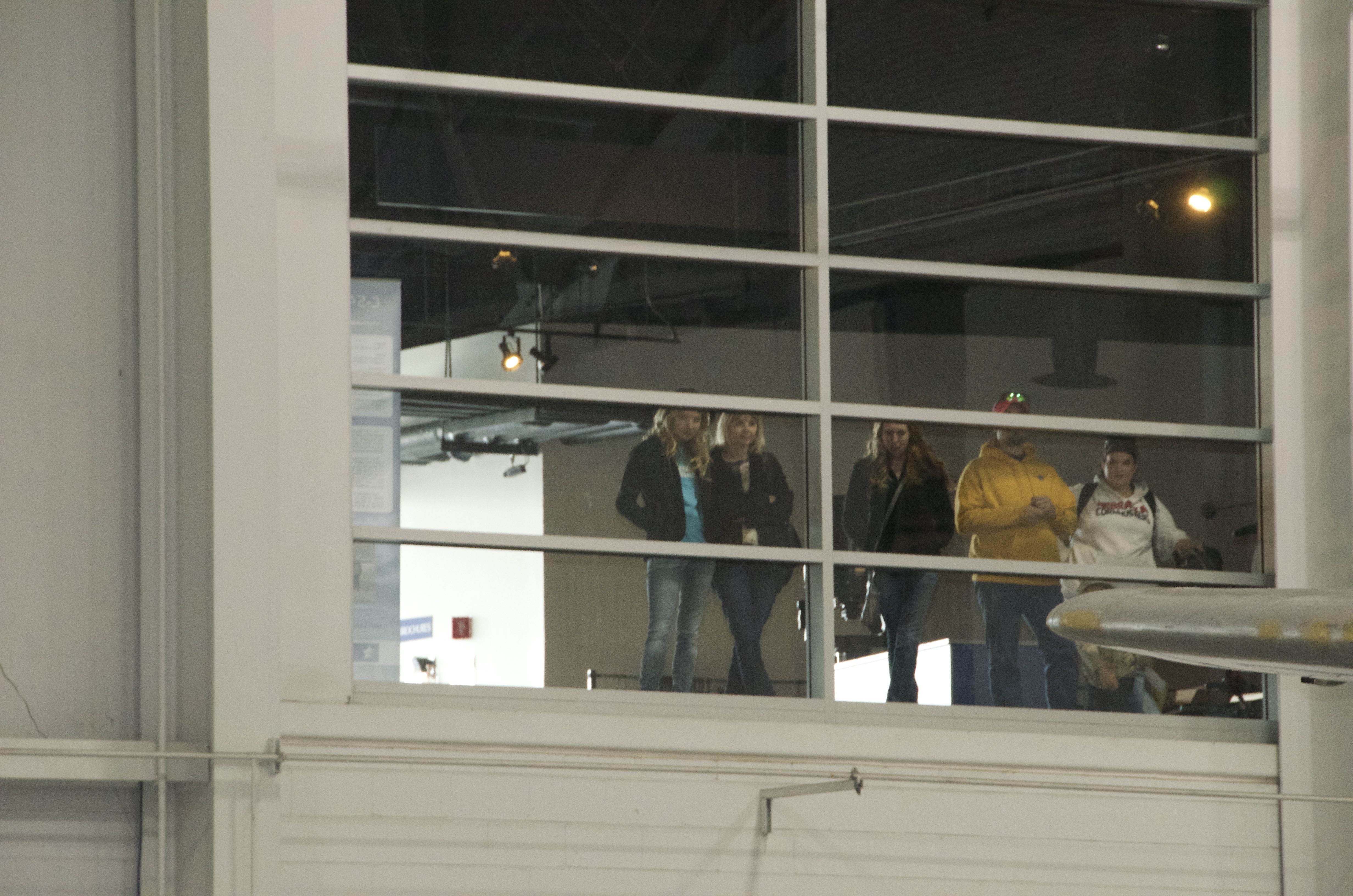
There were even viewers on the observation deck.
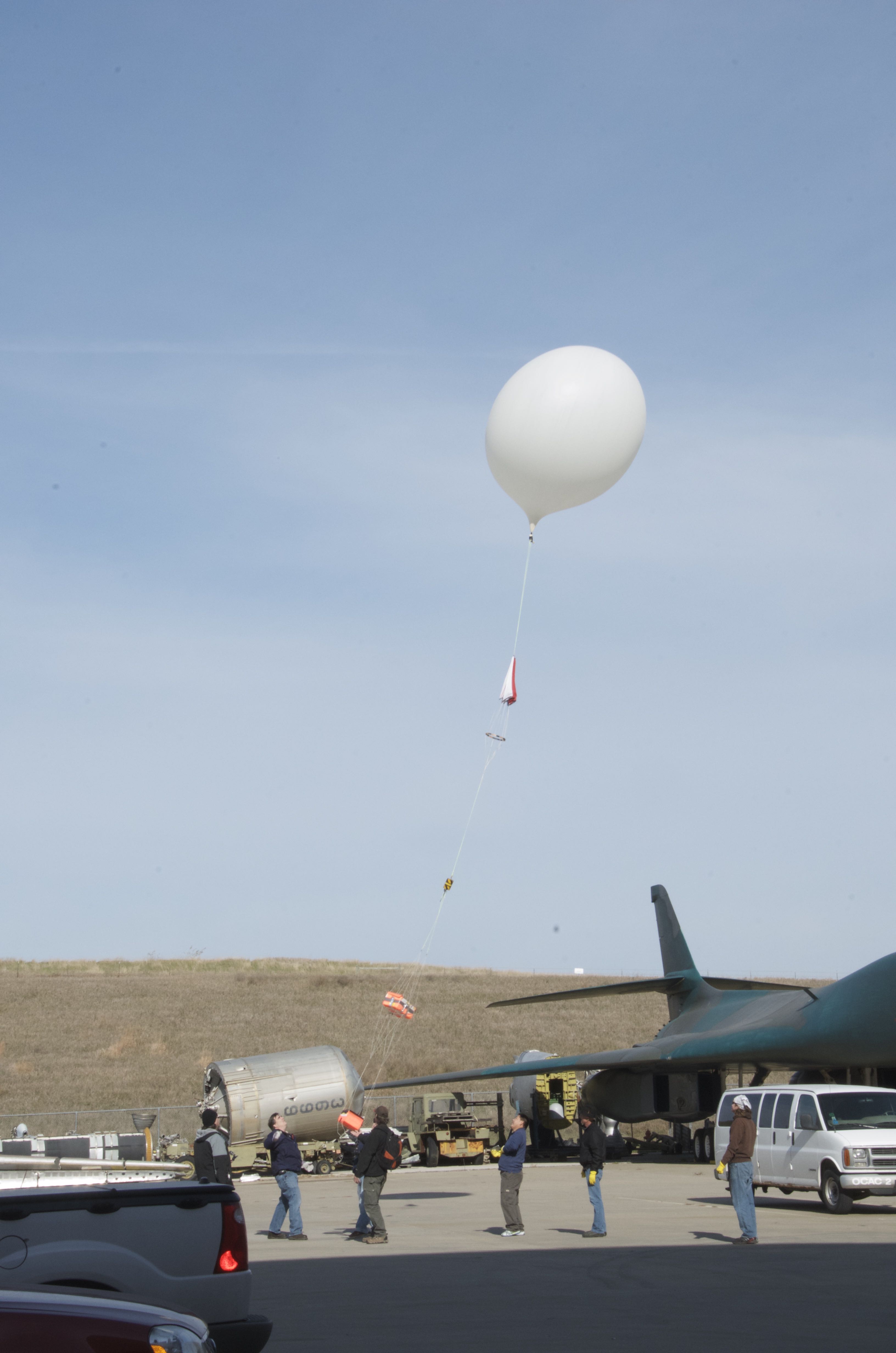
The system was walked outside and, once we got a GPS lock on the command module, released.
We hopped in the van and took off immediately. The command module was sending packets of data regularly, the APRS was being shown on the website aprs.fi, and the SPOT GPS was functioning properly. Everything was working perfectly!
Around 72,000 feet, we noticed a discrepancy between the command module readings and the APRS readings. The command module was still going up, but the APRS seemed to be going down. The only way to explain this was that we had a separation of one or both of the pods. We had a choice to chase after the pod(s) or the command module first. We decided to chase the command module because we needed to be relatively near when it came down or else it might fall into a depression and we would not have a line of sight and lose the signal. Unfortunately, this is what happened; we were about 10 miles away when it landed because of slow traffic behind some farm equipment. We lost the signal when it was on the way down at about 2900 feet. Because the APRS and the SPOT were on the other pod, our only recourse was to drive around where we estimated the landing to be to try and get a signal from the command module on our van antenna. We started driving down some of the minimum maintenance dirt roads near Indian Cave State Park and we got a hit after about 15 minutes when we were about 3 miles removed from the equipment. If it was in a gully, we would have likely needed to get to less than a mile to get a signal so this suggested that it was elevated, maybe on a hill or in a tree.
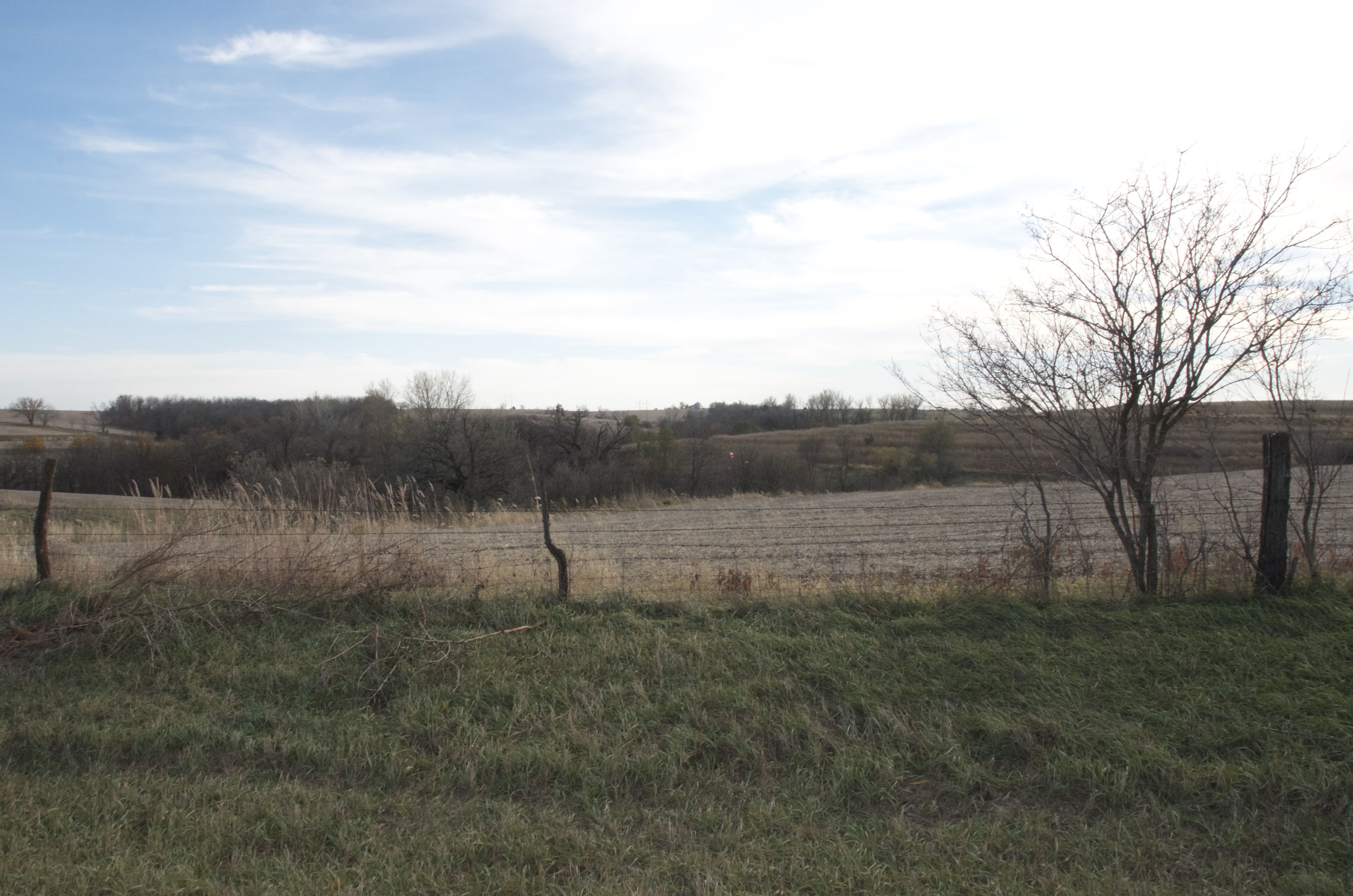
Can you see the parachute in this picture?
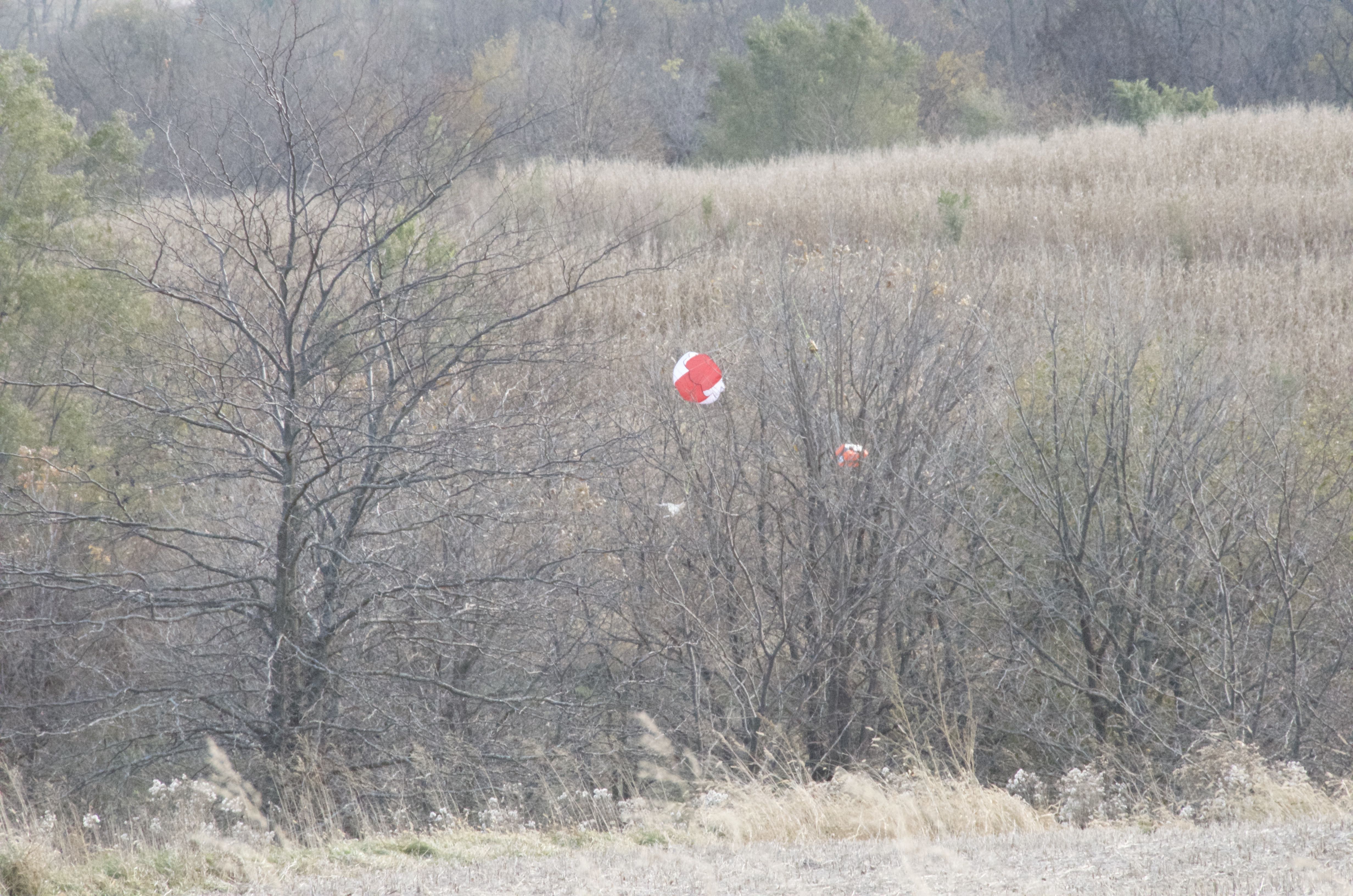
Here, let me zoom in on that for you.
The Iowa group was following us in their vehicle and were willing to help get the equipment out of the tree.
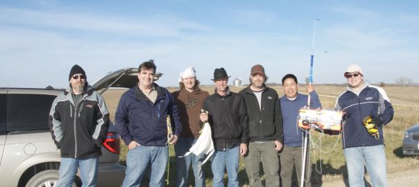
Our thanks to Allen, Dallas, Les (who climbed the tree), and Dan for helping with the chase. Kai, a new chemistry instructor from MCC, came along and Josh is holding his experiment pod.
After the relief of finding most of the equipment, we needed to find the pod that was separated. The SPOT gave us the GPS coordinates and we could tell from the satellite map that it fell in a wooded area. It was about 30 miles from our location and we wondered what the likelihood was that we would have one launch and two separate tree landings.
Because the pod was not attached to anything else and because it was probably coming down fast without a parachute, it fell through the branches of a tree and landed on the ground. We got the APRS and SPOT back, but the GoPro camera that was attached on the outside of the pod was ripped off. The team searched around the base of the tree, but they did not find it, therefore, we do not have photos from altitude for this flight.
After examining the lines, it looks like the swivel hooks were completely straightened. There must have been quite a bit of force for them to do that, perhaps the lines were twisted when it went through the jet stream.
Other than the loss of the camera, it was a fun, productive, and interesting flight.
I will try to post additional photos and data from the flight later this week.

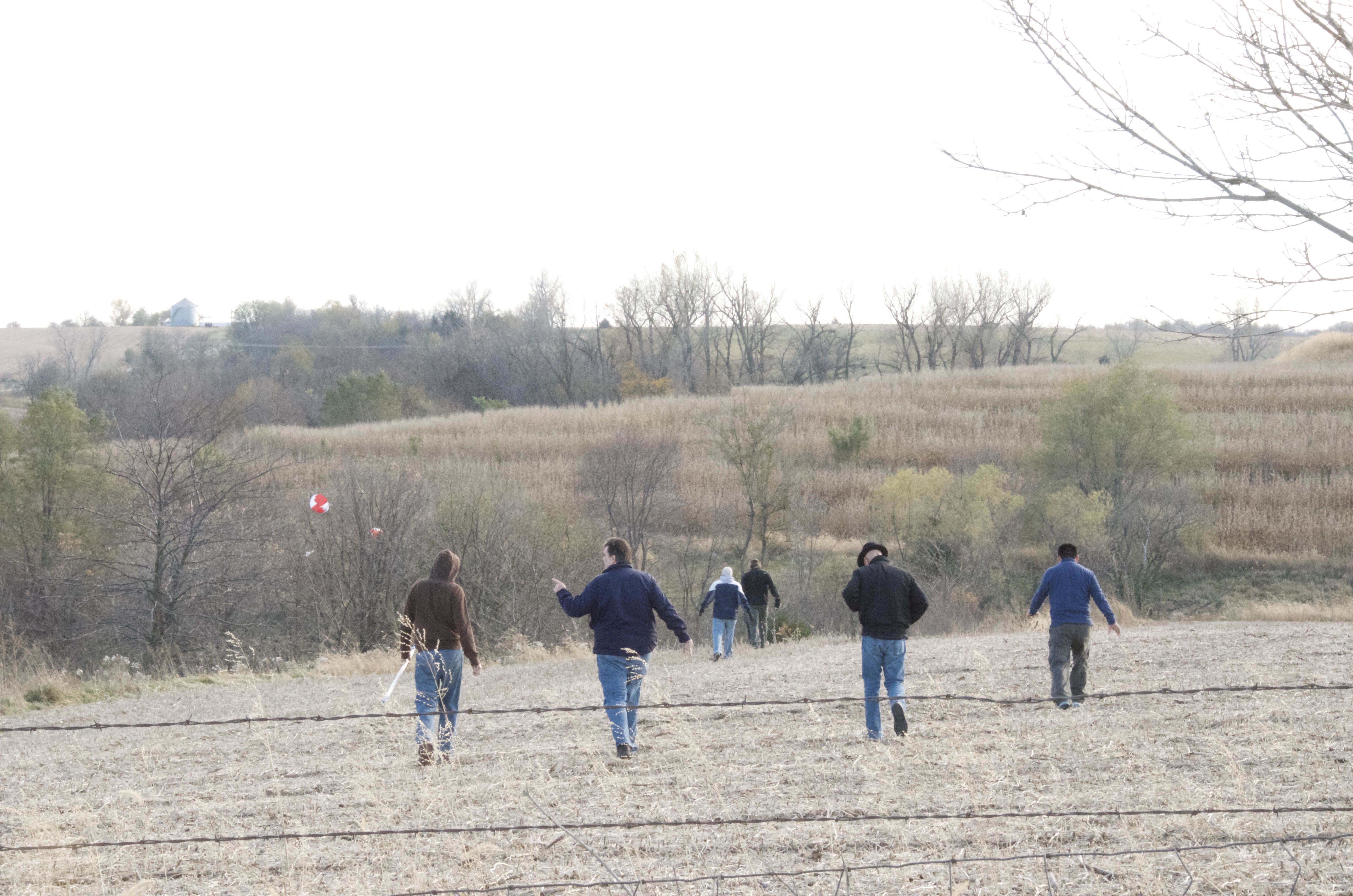
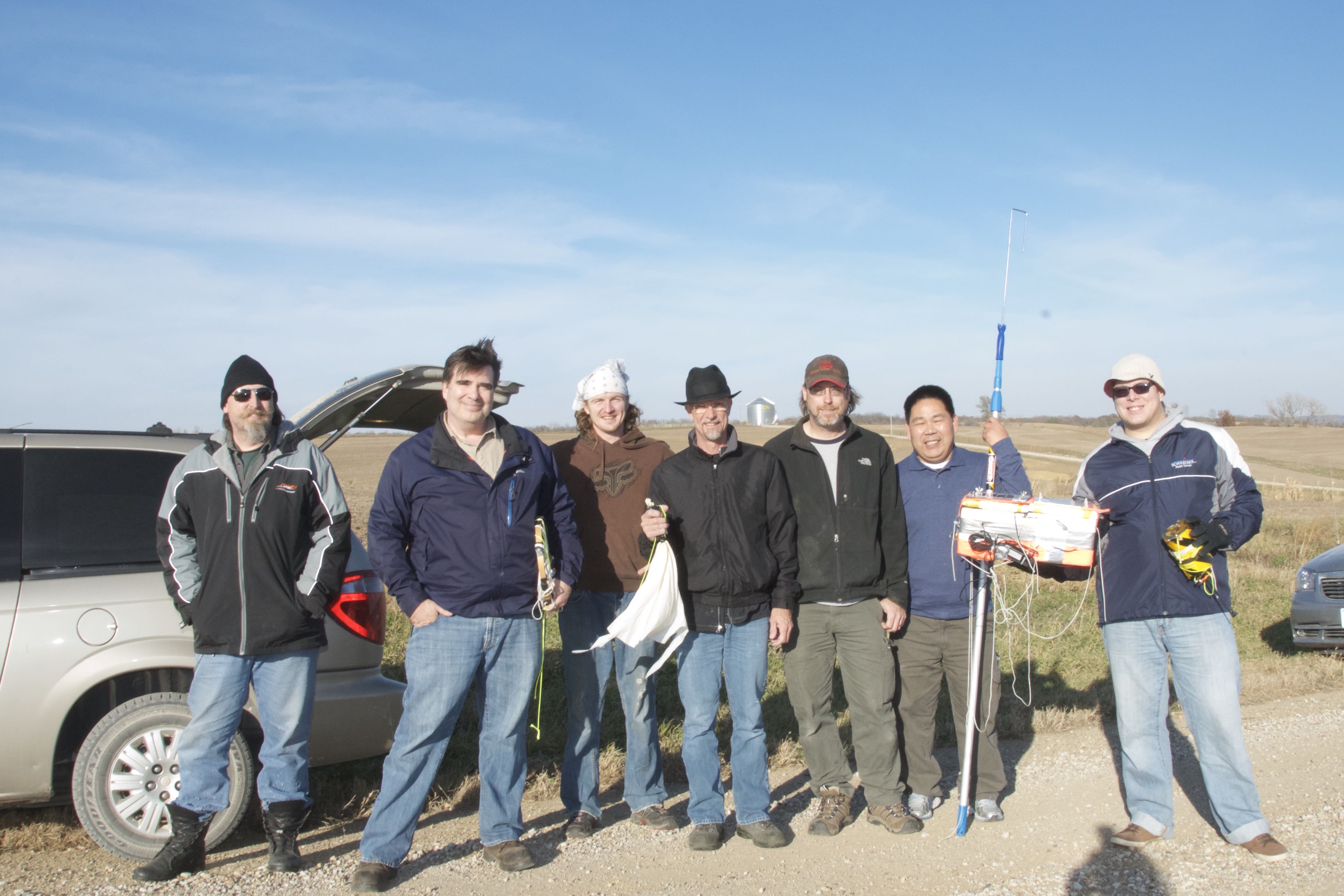
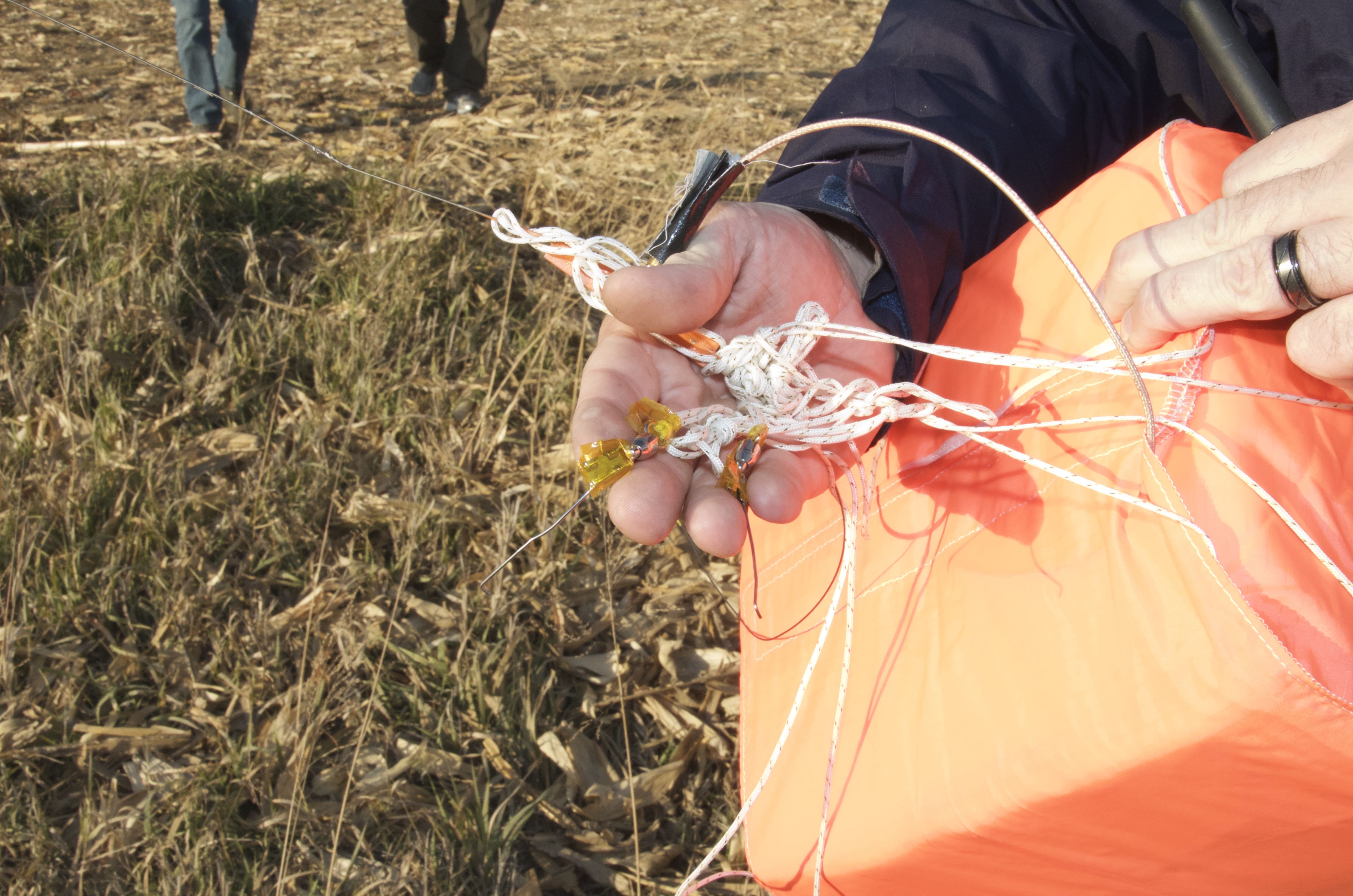
We had a blast and thank you for the opportunity to be part of the team. Several of the other techs at our wind farm have shown interest in chasing again.