The Aerospace Educator Workshop 2016 took place at UNO this last week.
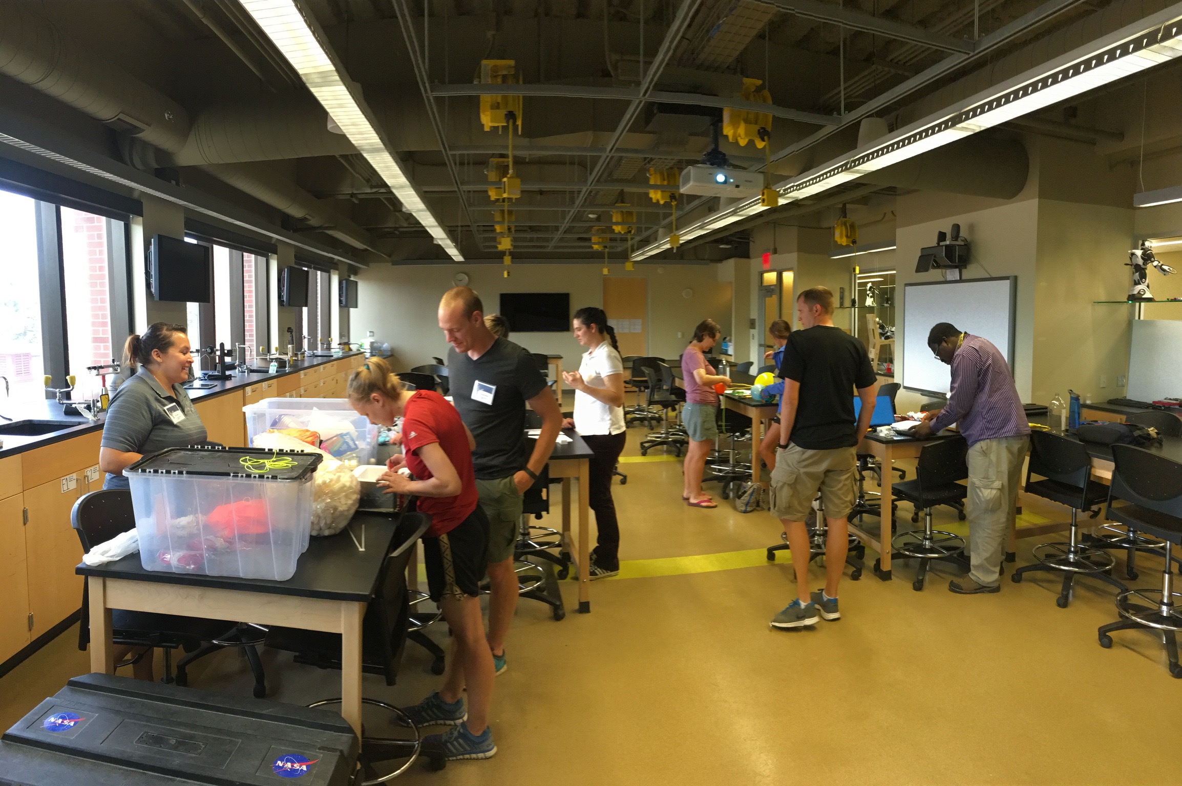
Michael and Amelia presented the workshop through UNO STEM and it consisted of learning about the history and background of high altitude ballooning (HAB), getting acquainted with the equipment, designing experiments and thinking about how to teach science, and learning about the chase and recovery of the payloads.
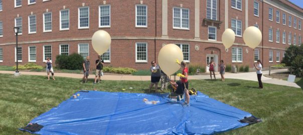
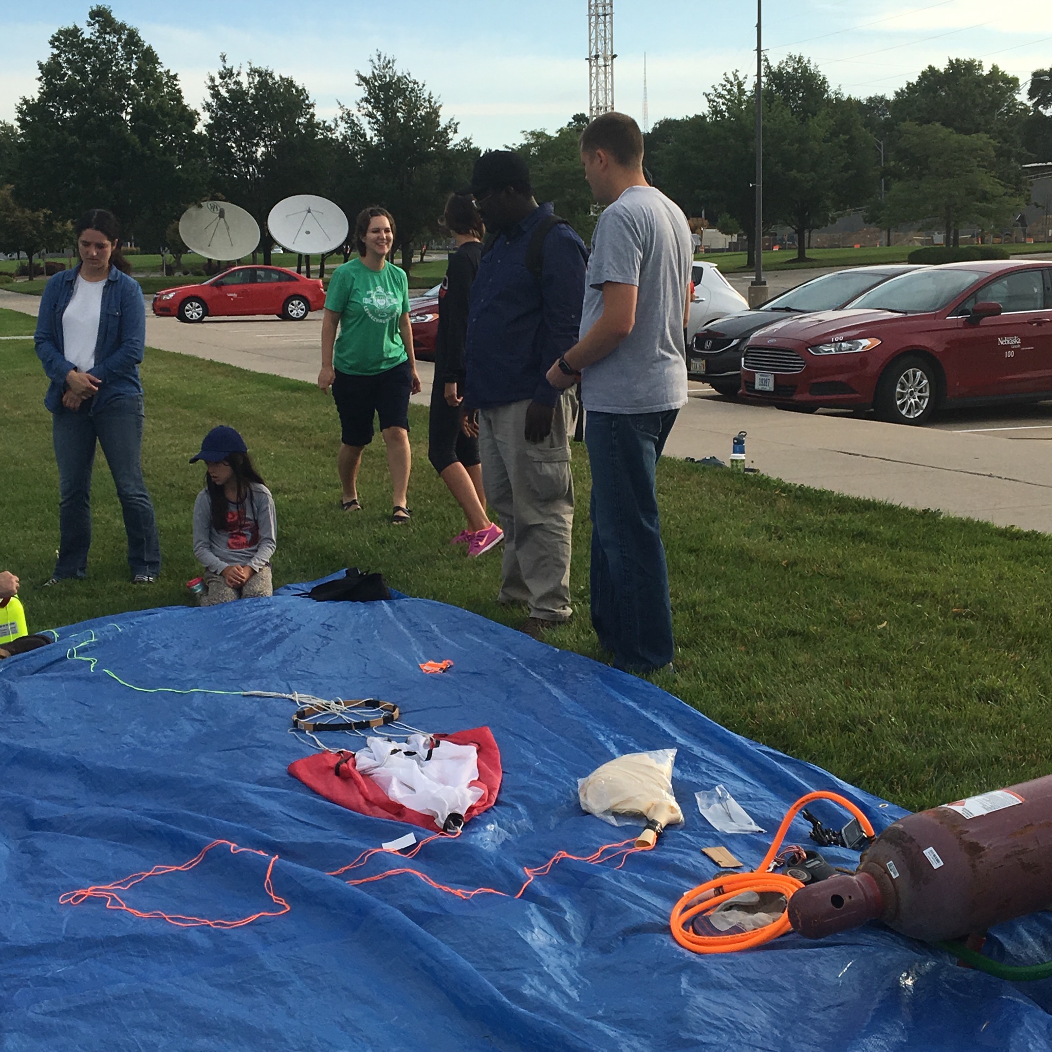
On Friday (7/8/16) during a practice launch, all of the teams had a chance to practice filling small weather balloons (300 g). This provided some invaluable hands-on learning for our burgeoning balloon scientists.
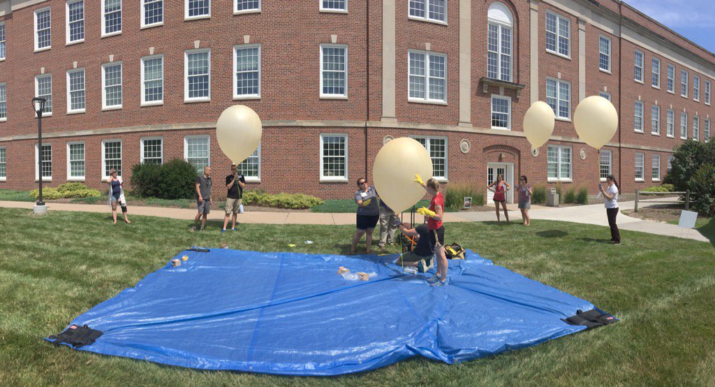
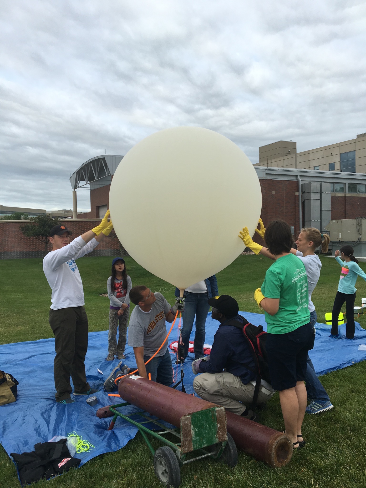
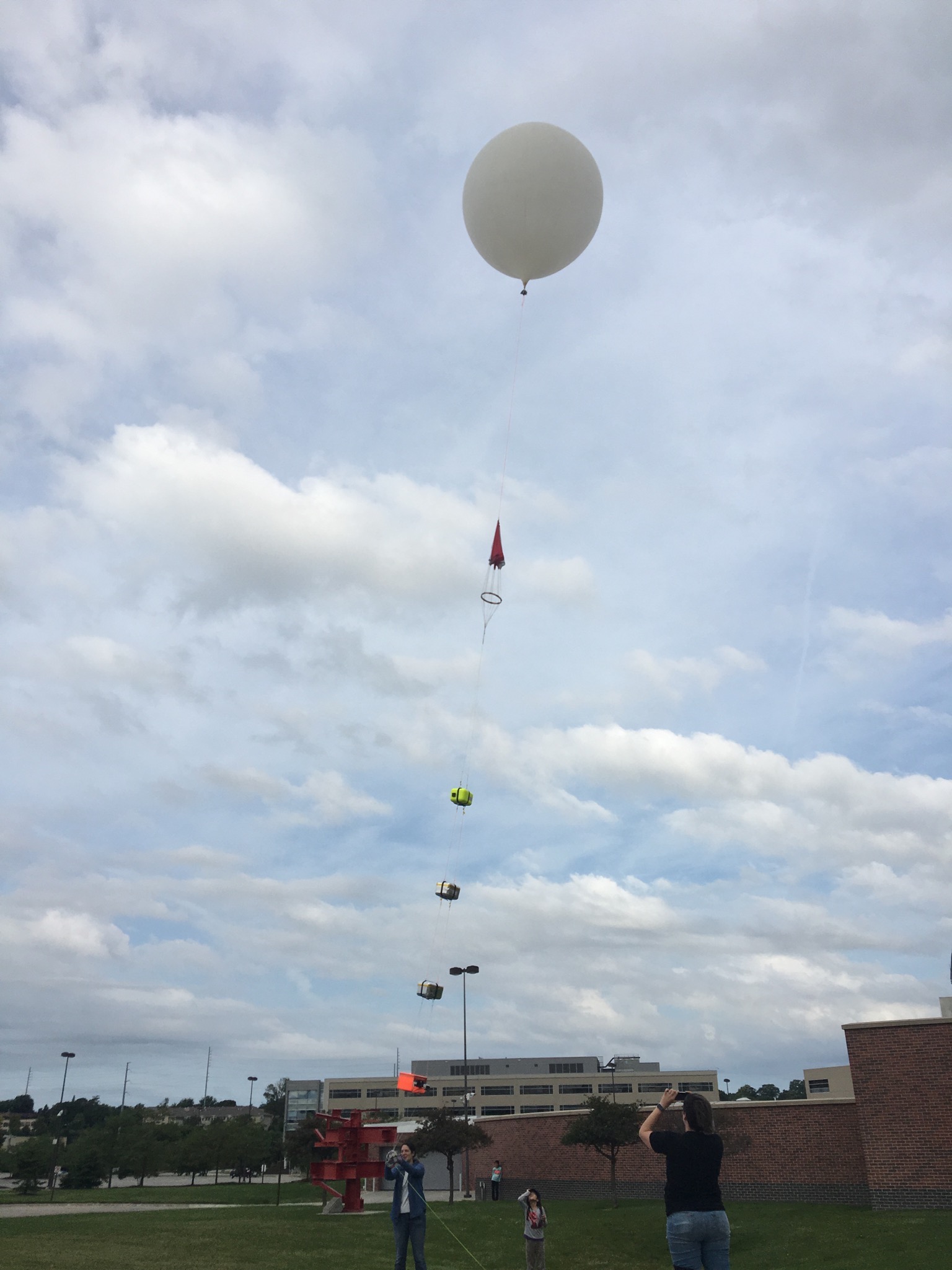
The main launch was scheduled for 8 am the following day (Sat. 7/9/16). There was no wind and the temperature was a very comfortable 72 degrees. We used a new 1200 g Kaymont balloon.
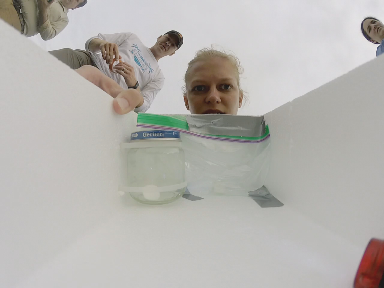
The camera in one of the experiment pods was turned on before sealing it.
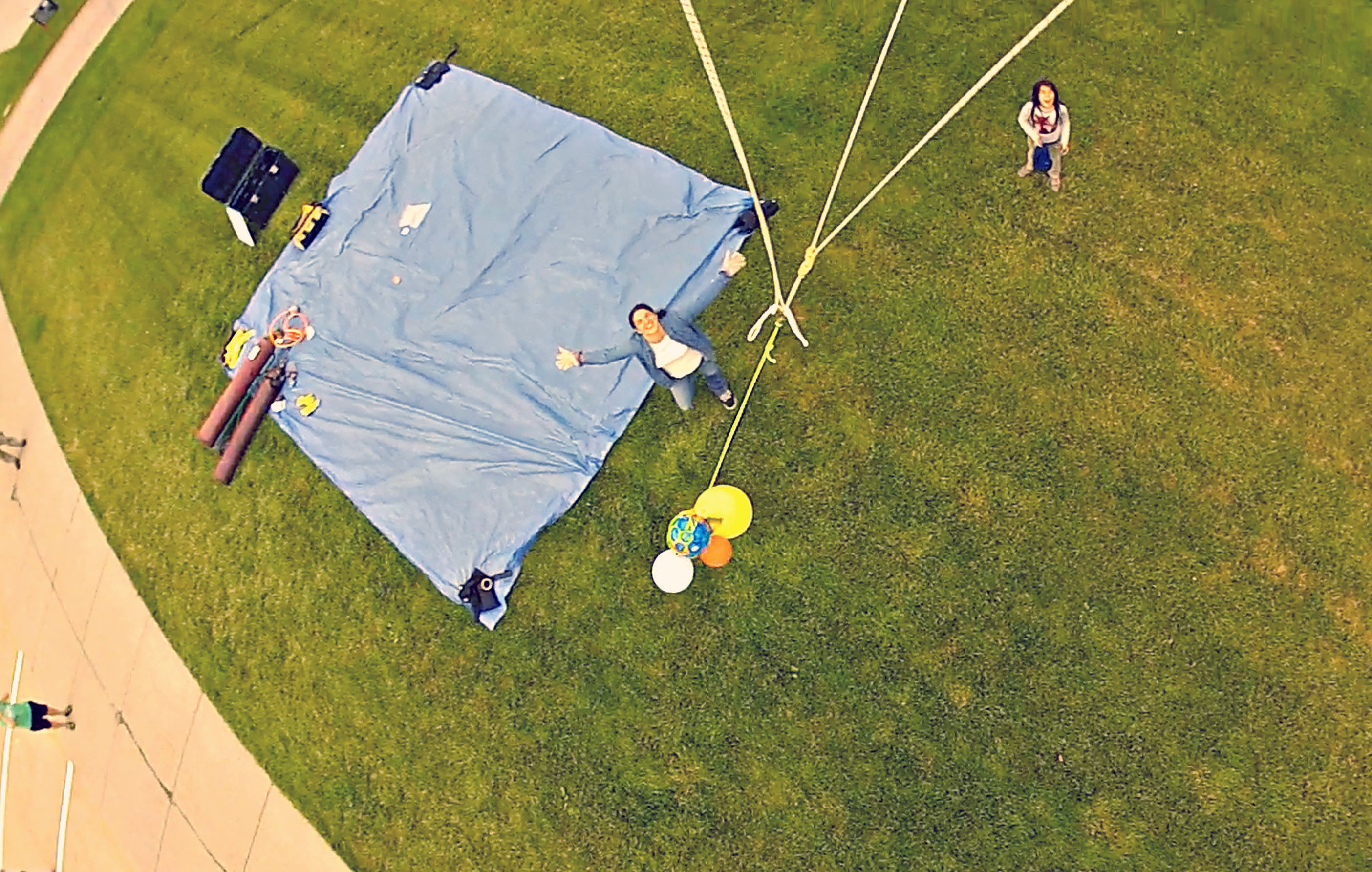
Preparing for the fill.
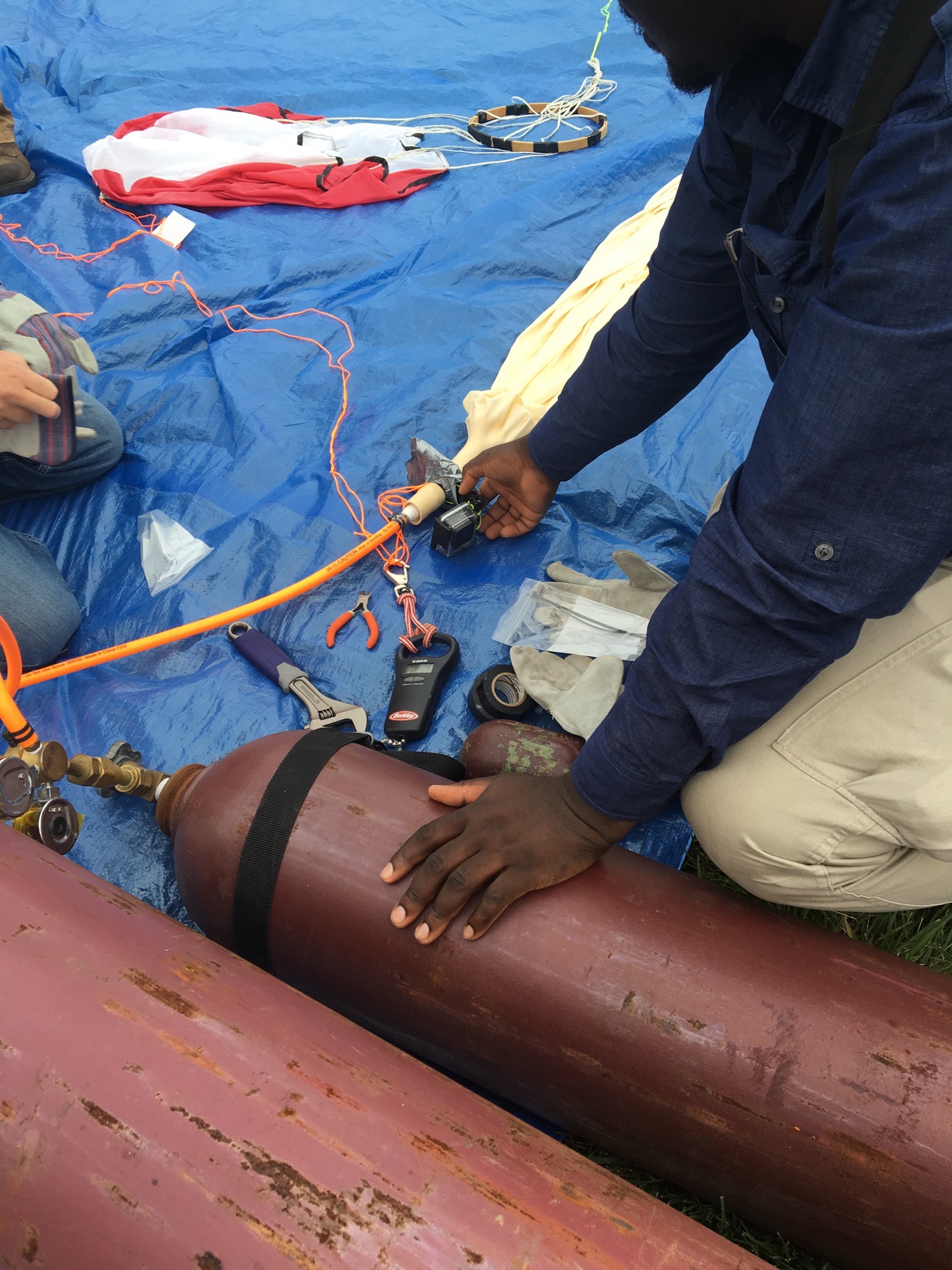
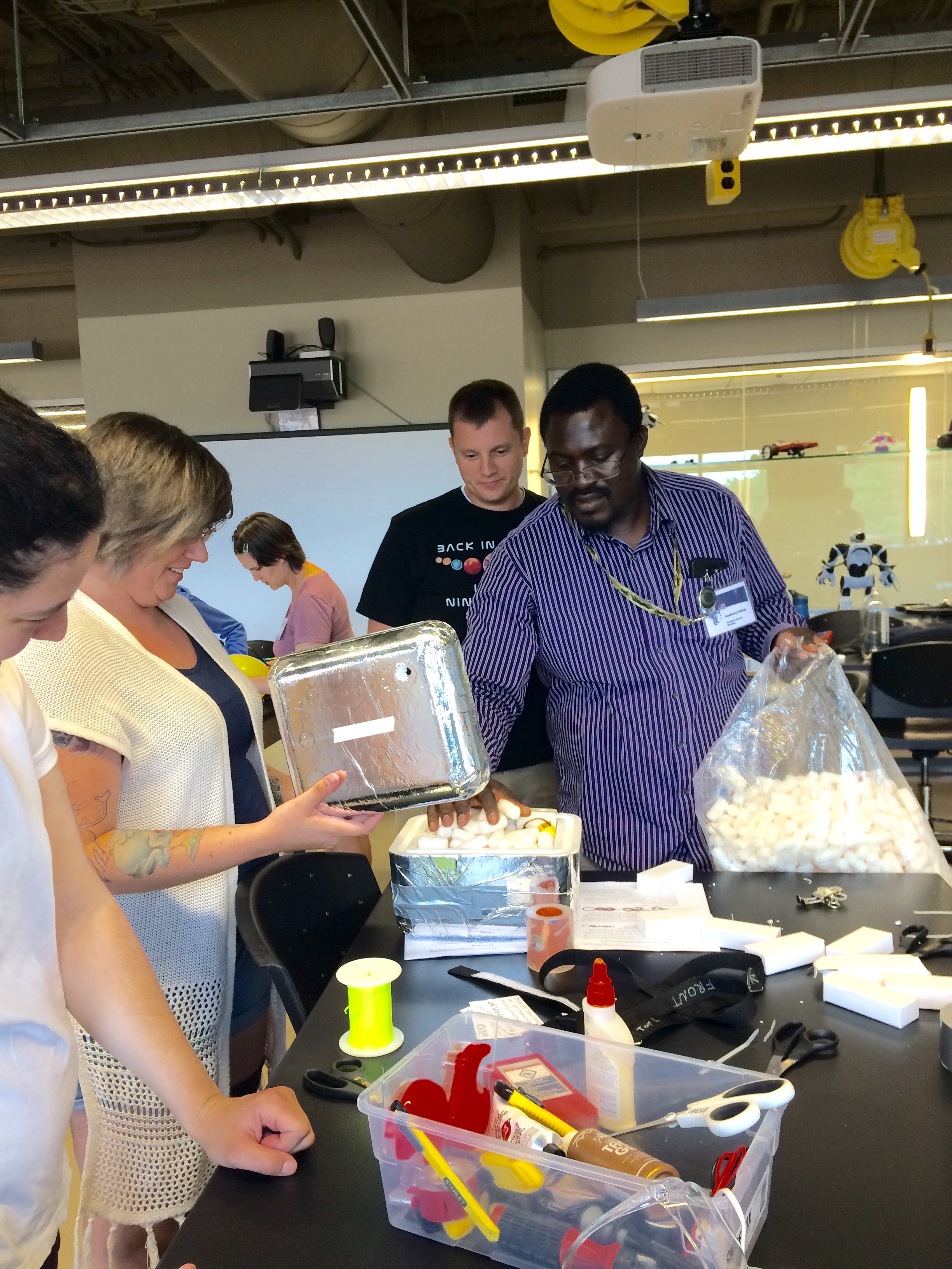
The teachers were responsible for the filling of the balloon and preparation of the payloads.
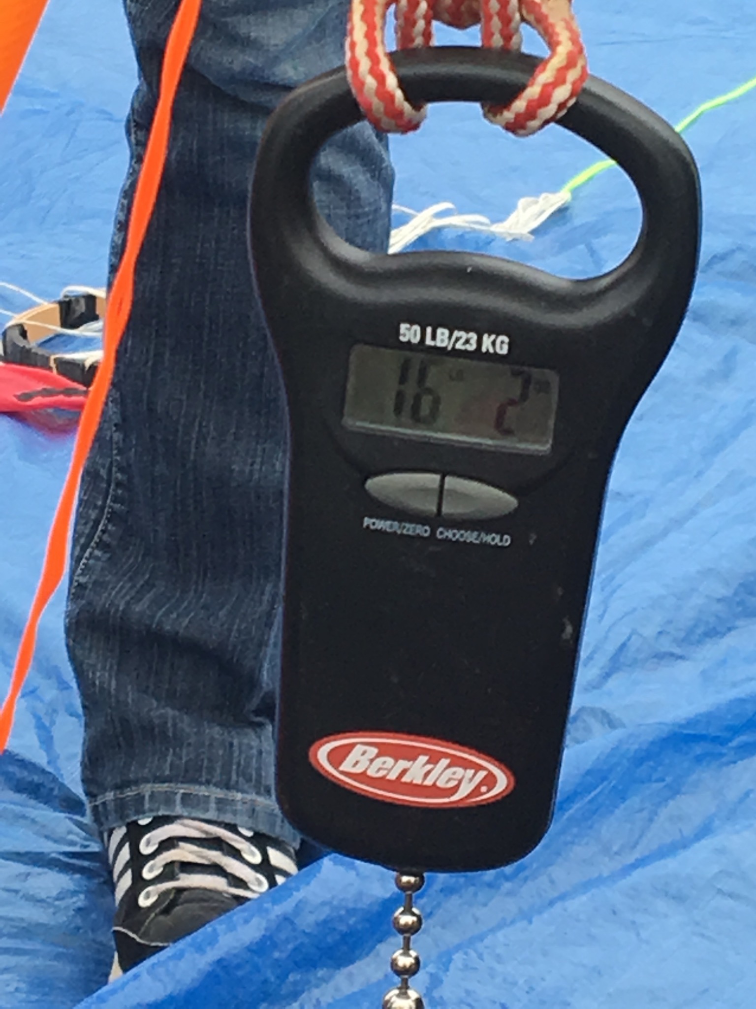
The weight of all of the payloads was 8.3 pounds so we wanted to get between 16 and 17 pounds of lift.
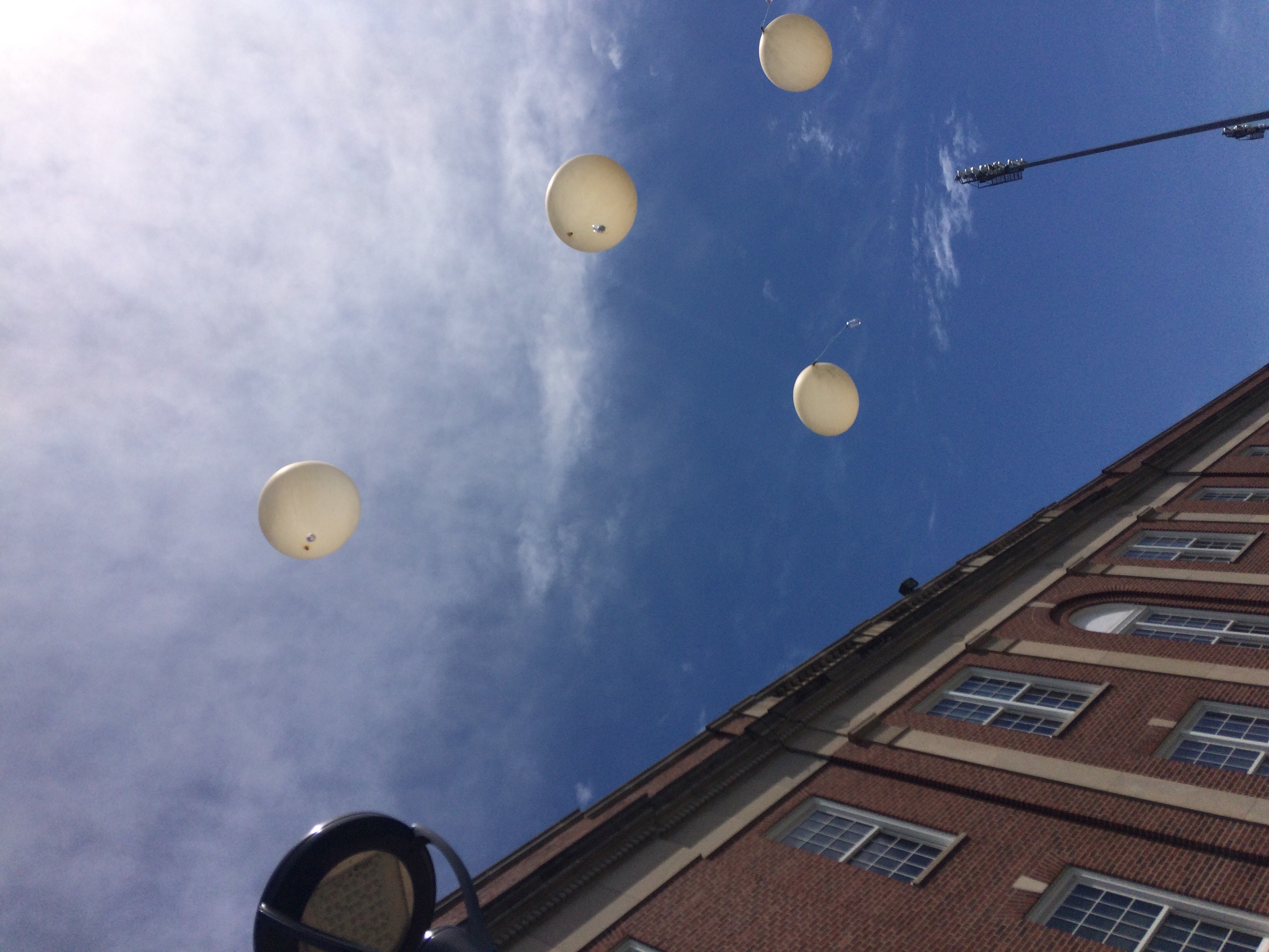
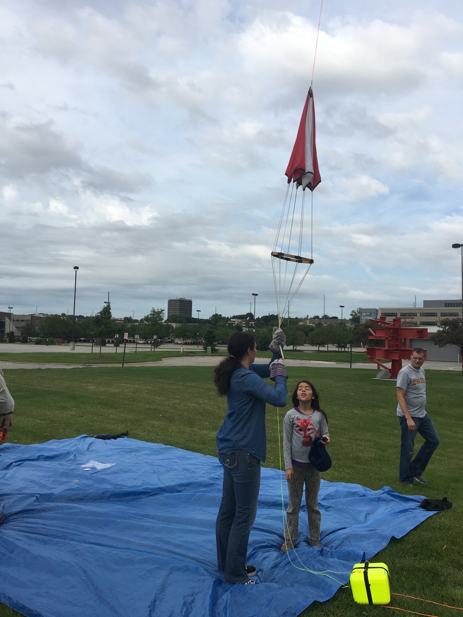
The payloads were walked up the string.
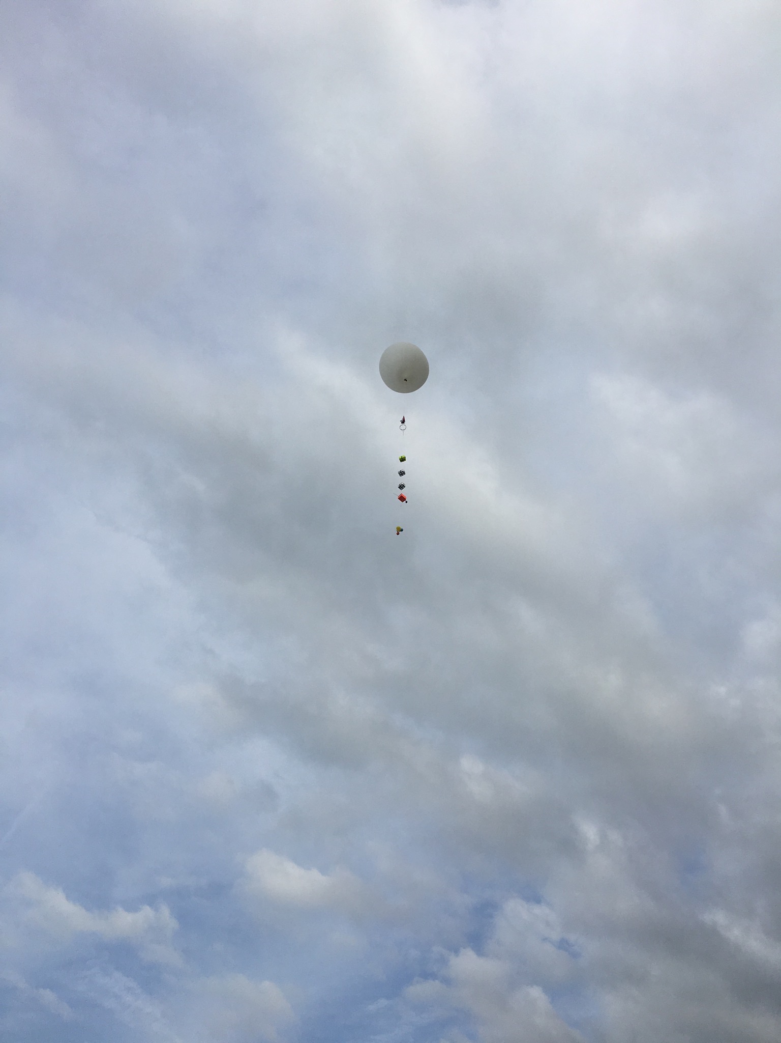
Countdown.
And Liftoff!
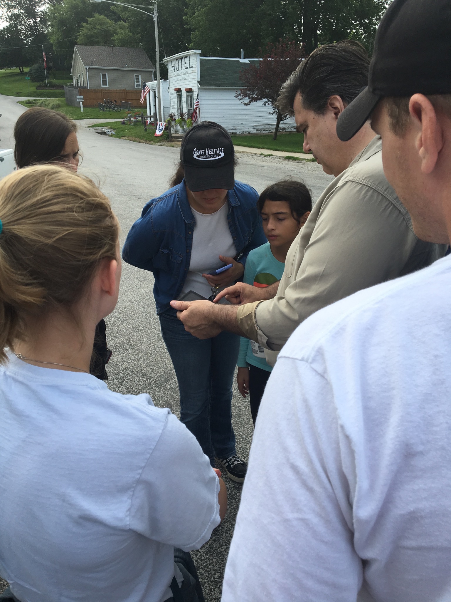
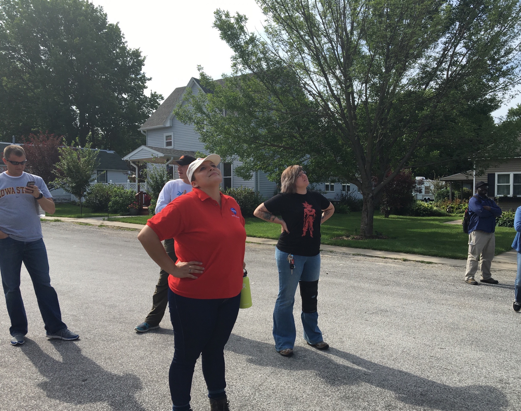
The prediction had the landing near Mineola, Iowa so we went to the town’s main street to track the balloon.
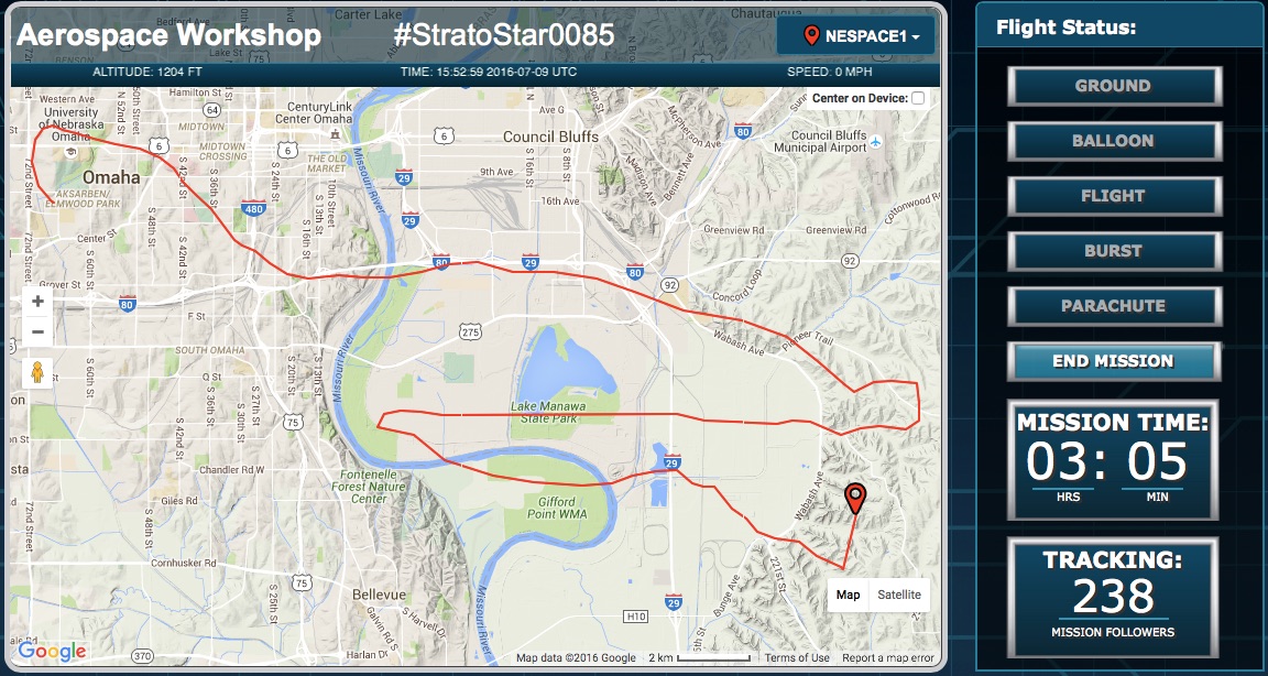
The primary tracking (Stratostar SATCOM) was working and we were getting the secondary tracking (APRS) the whole time, but our tertiary tracking (SPOT GPS) had only 1 hit when we started the device and no other signals. We assumed that the SPOT was turned off when placed in the new shiny silver experiment pod.
Here is the prediction from 2 days prior to the flight.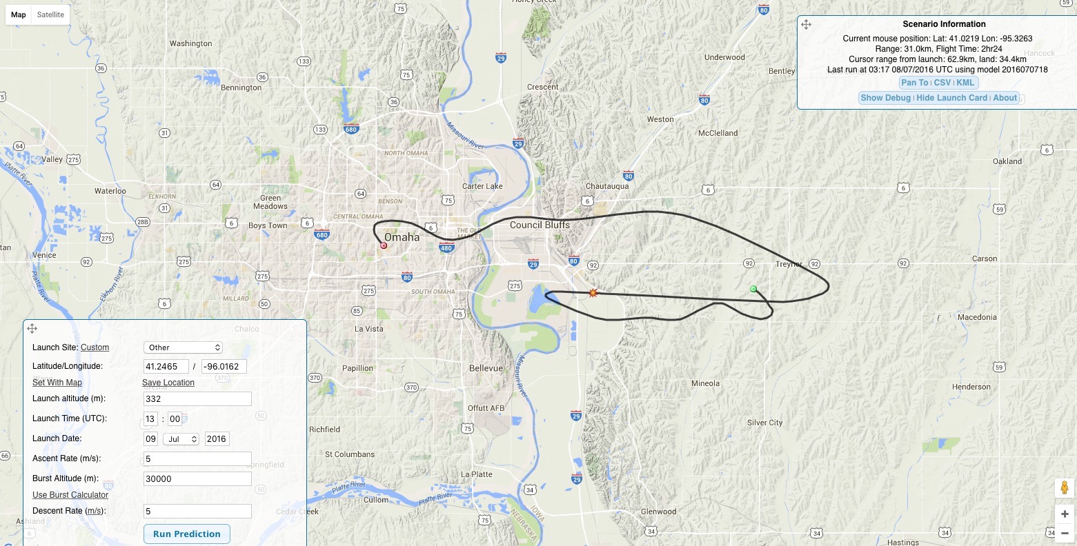
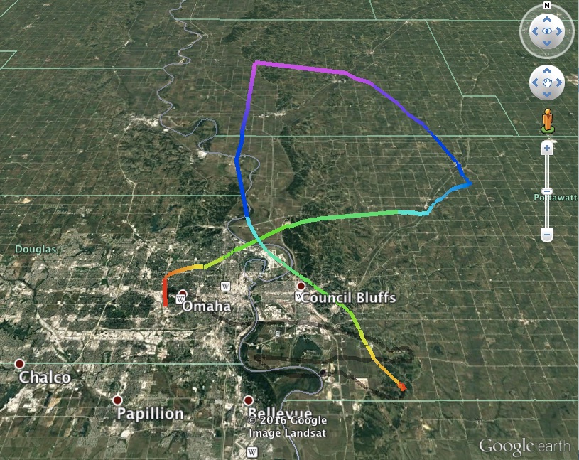
This is the actual flight path.
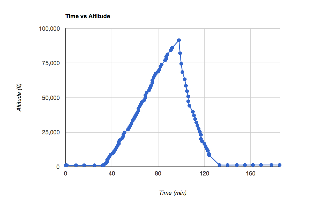
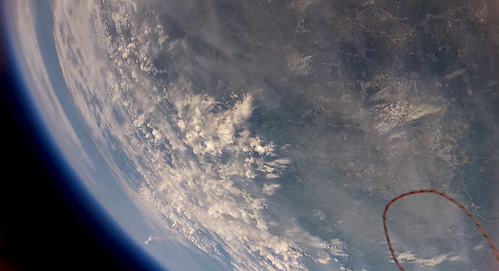
The maximum altitude was 90,673 feet.
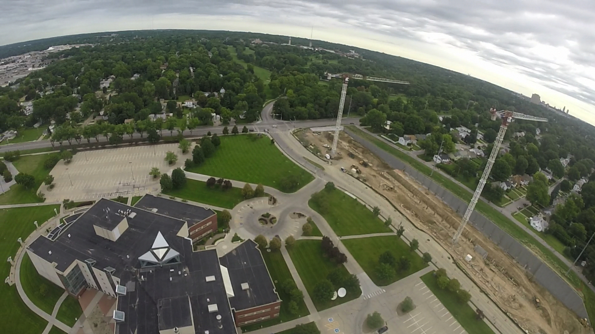
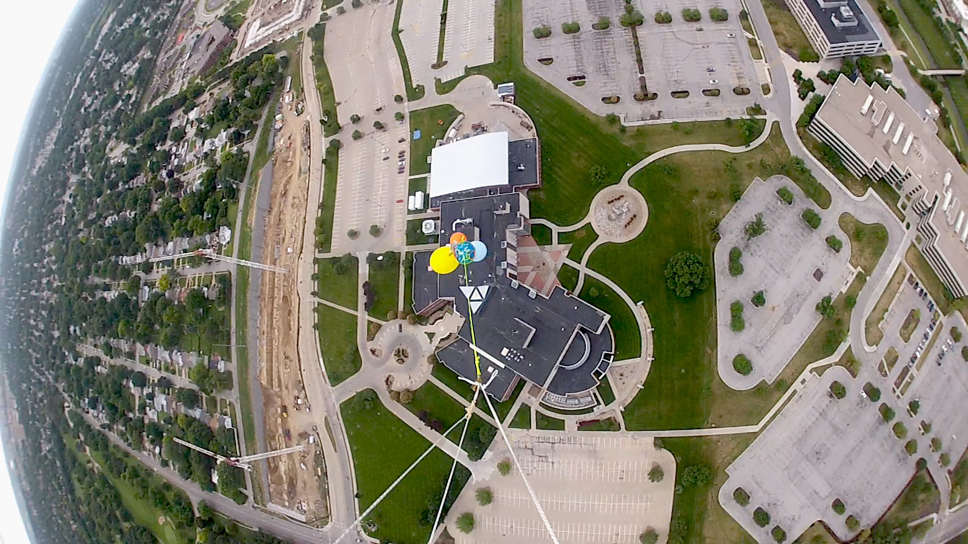
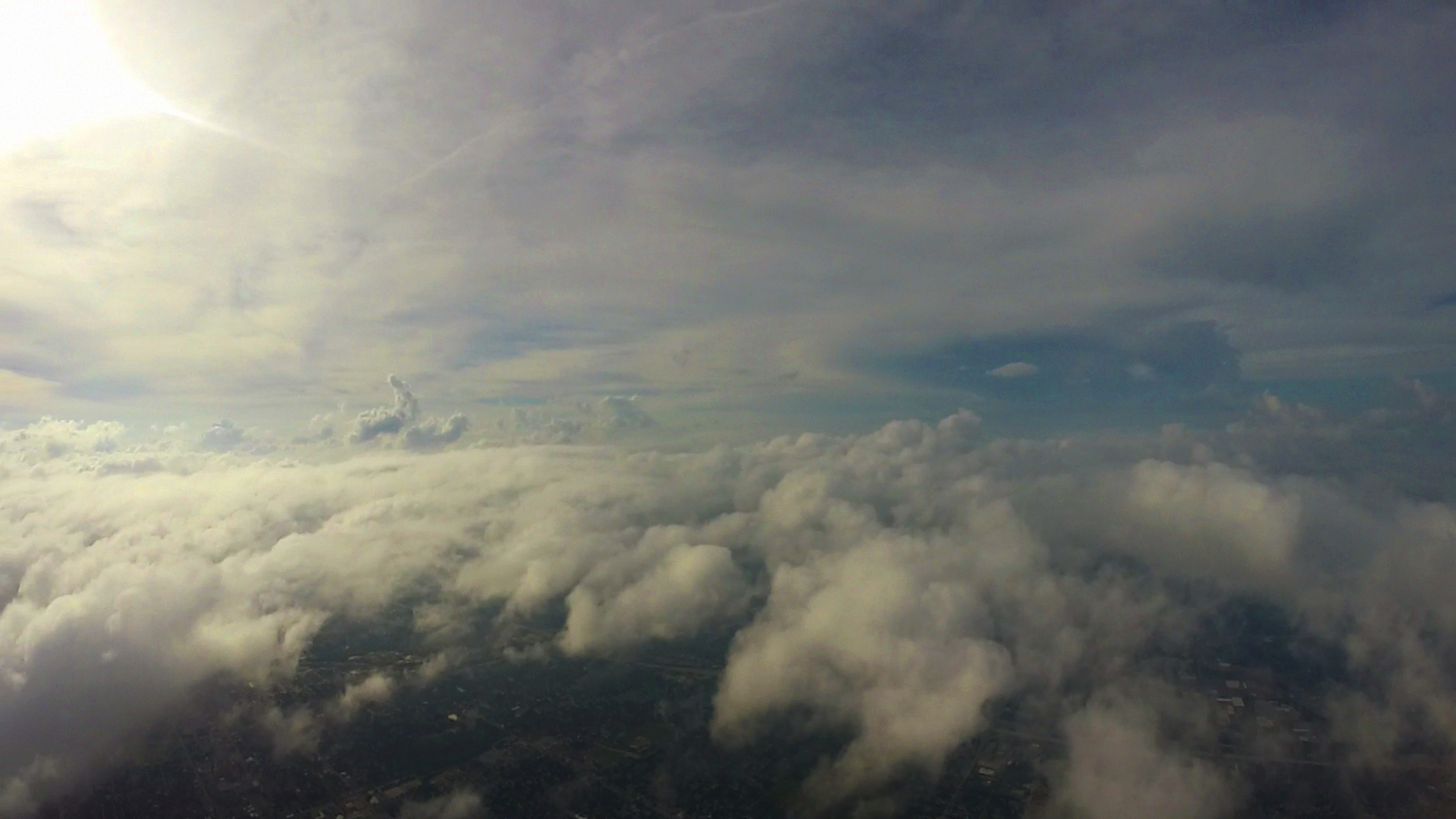
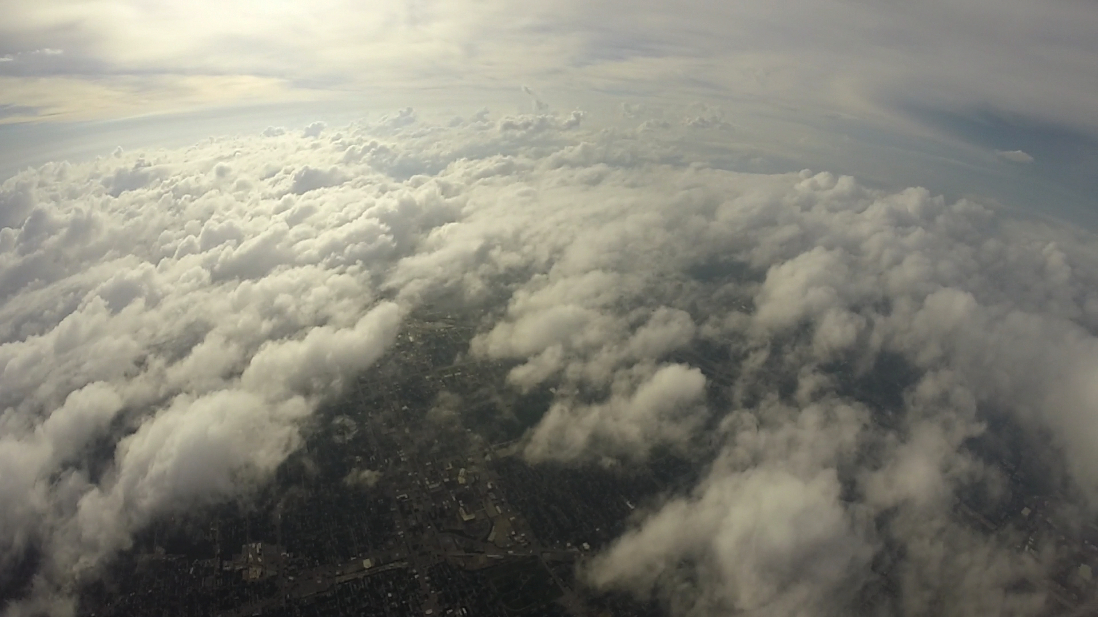
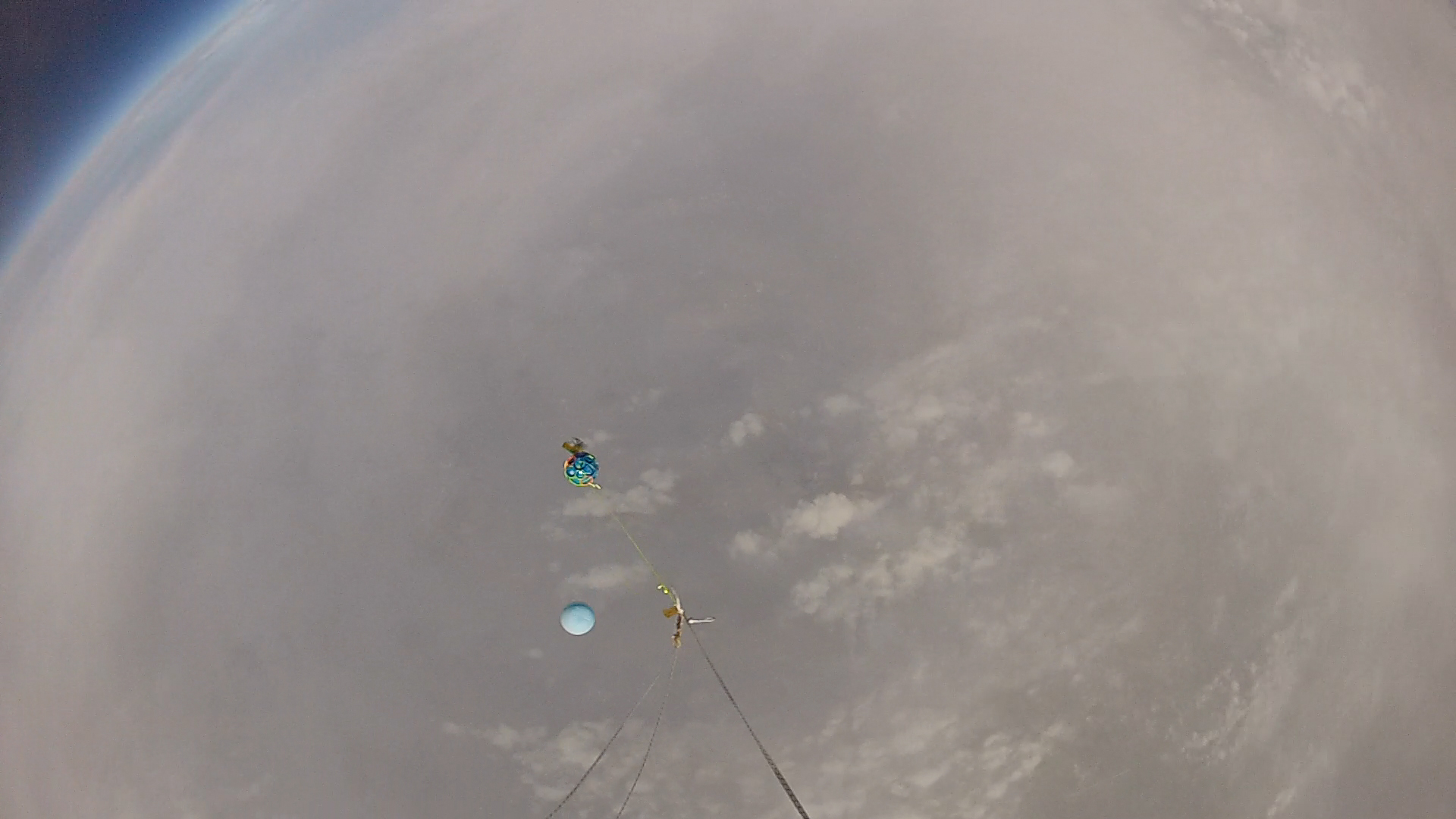
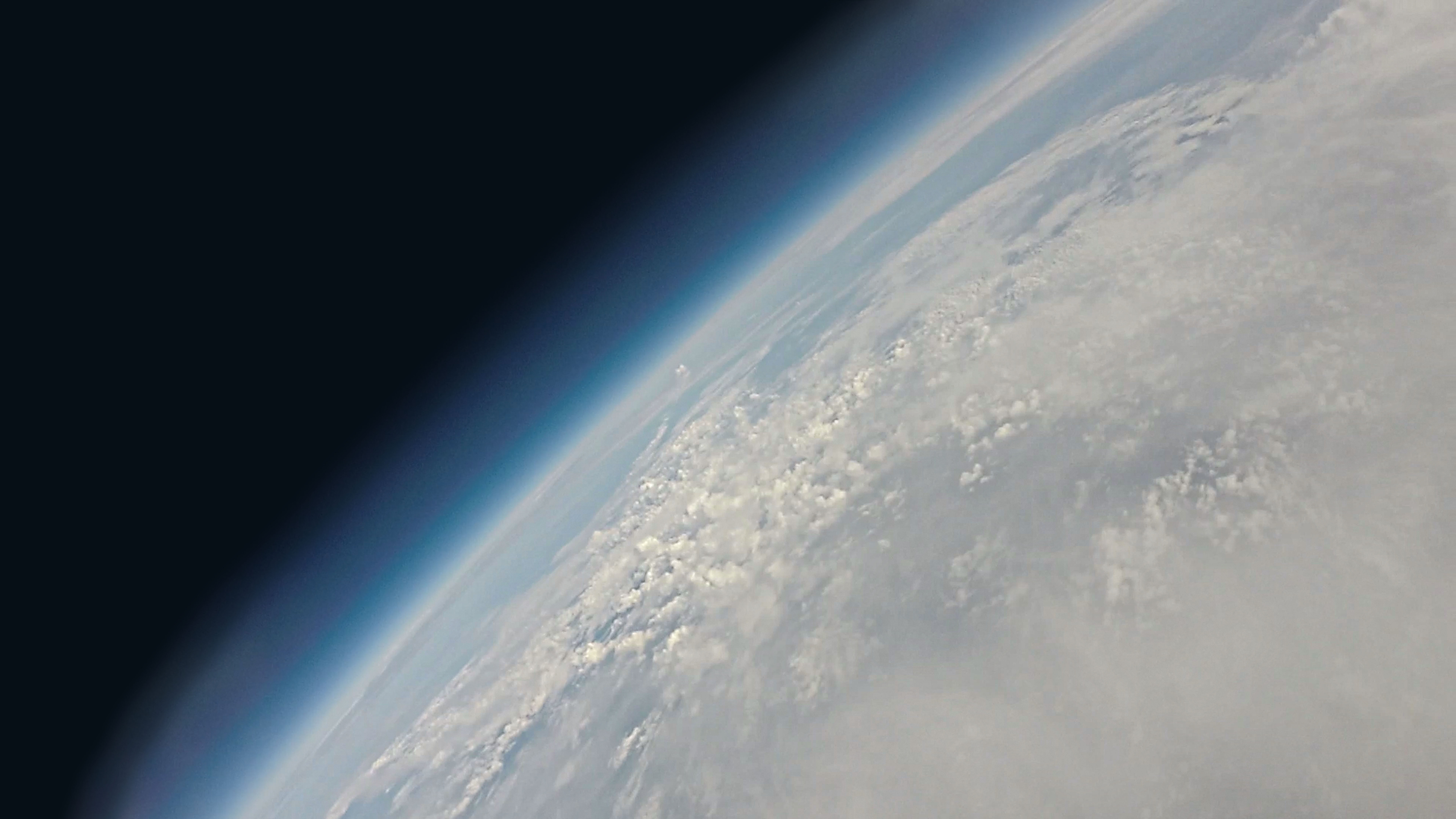
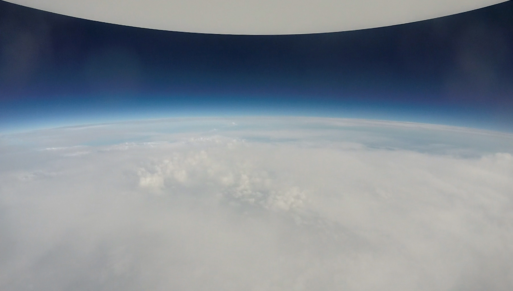
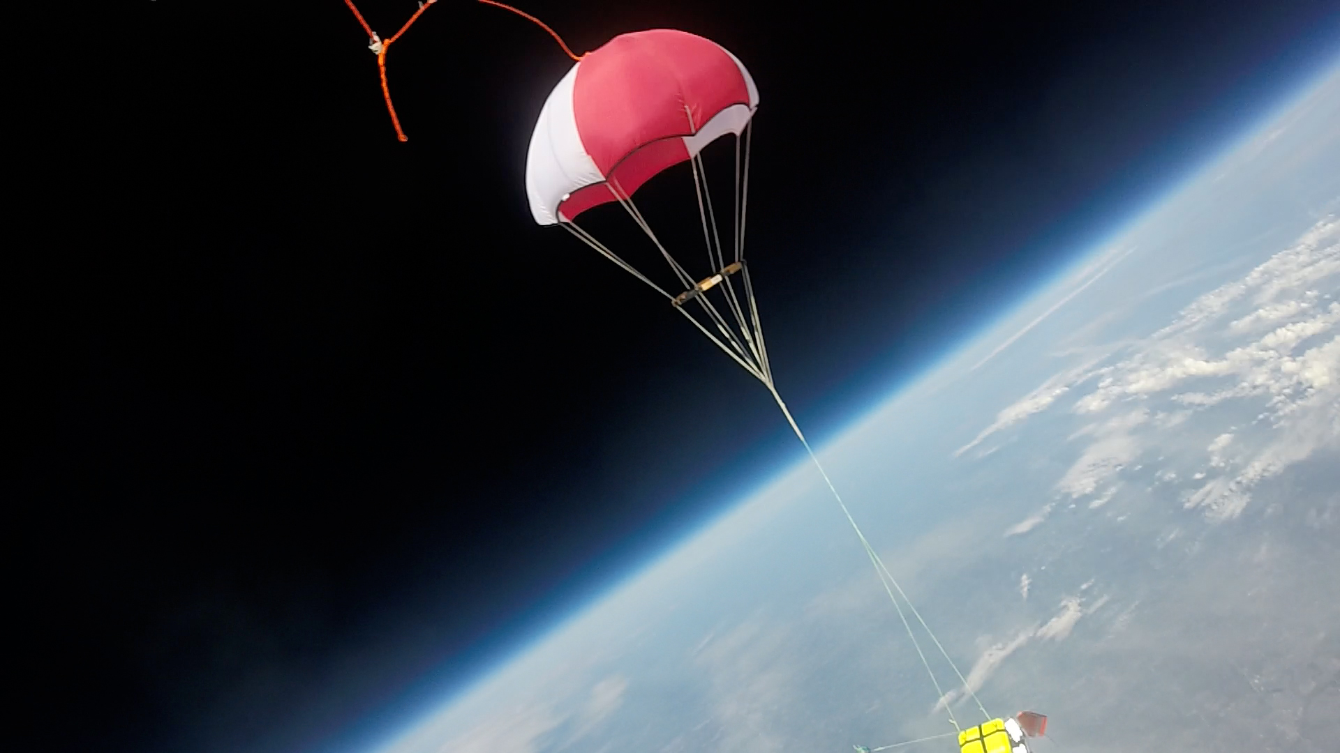
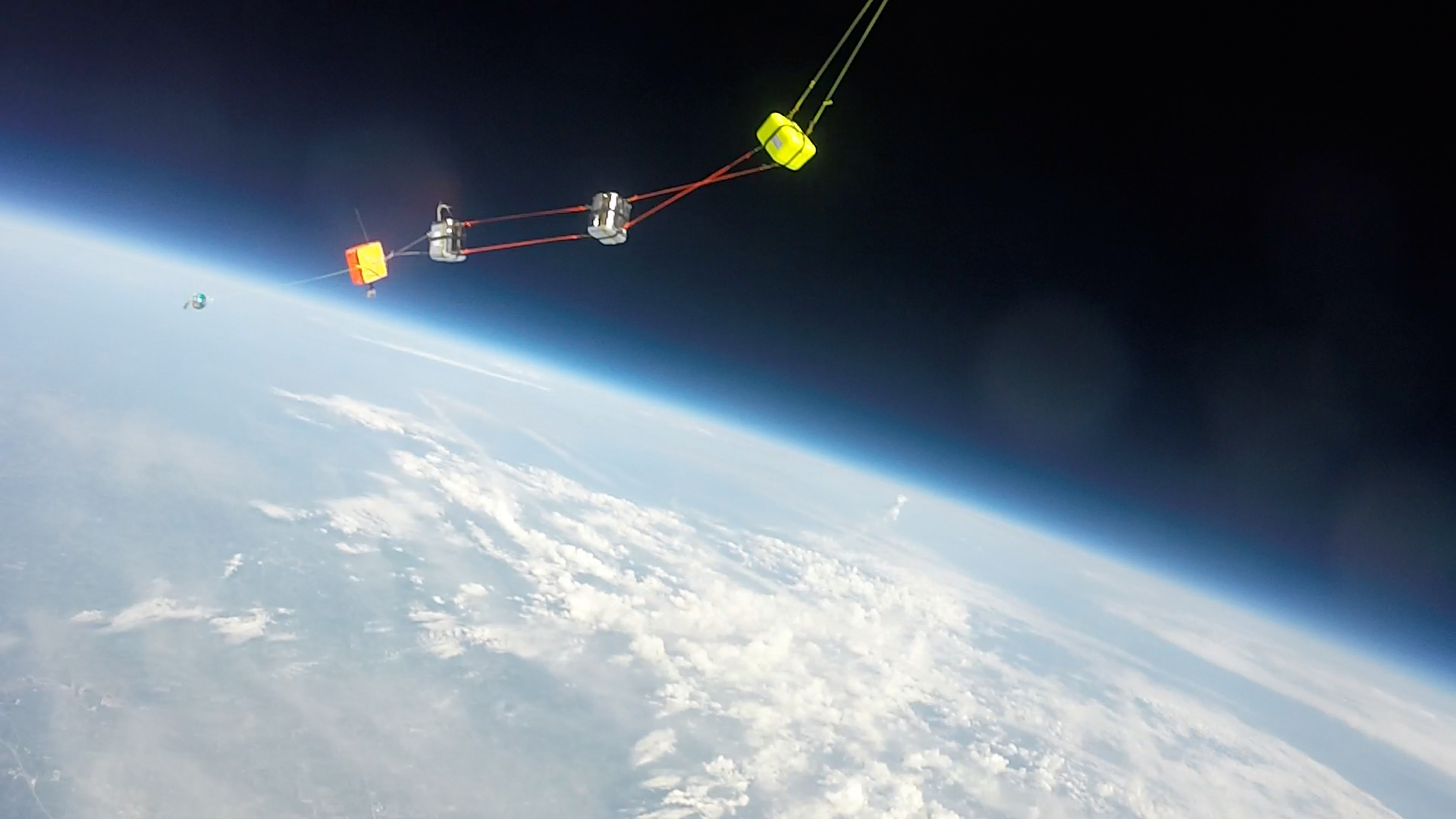
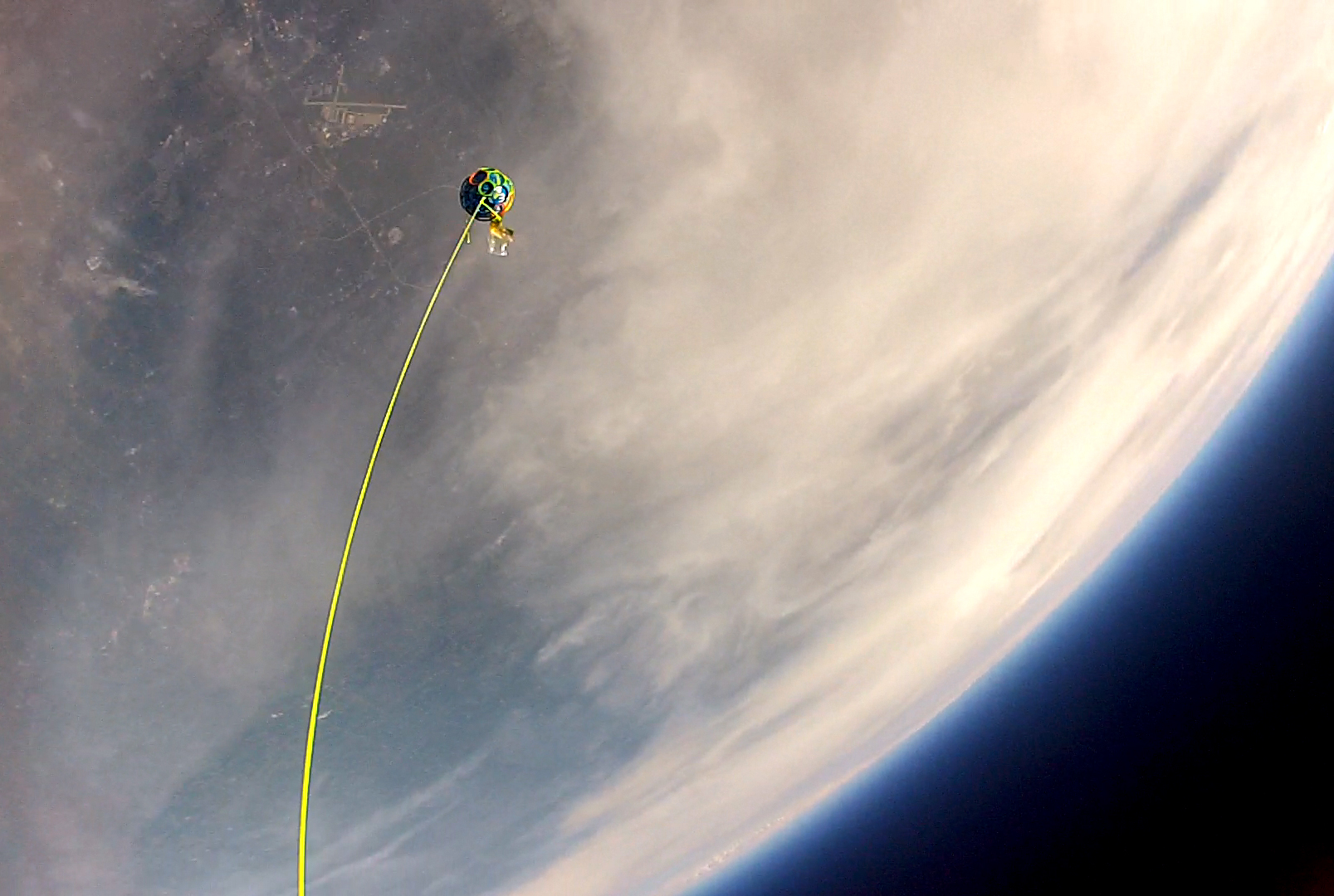
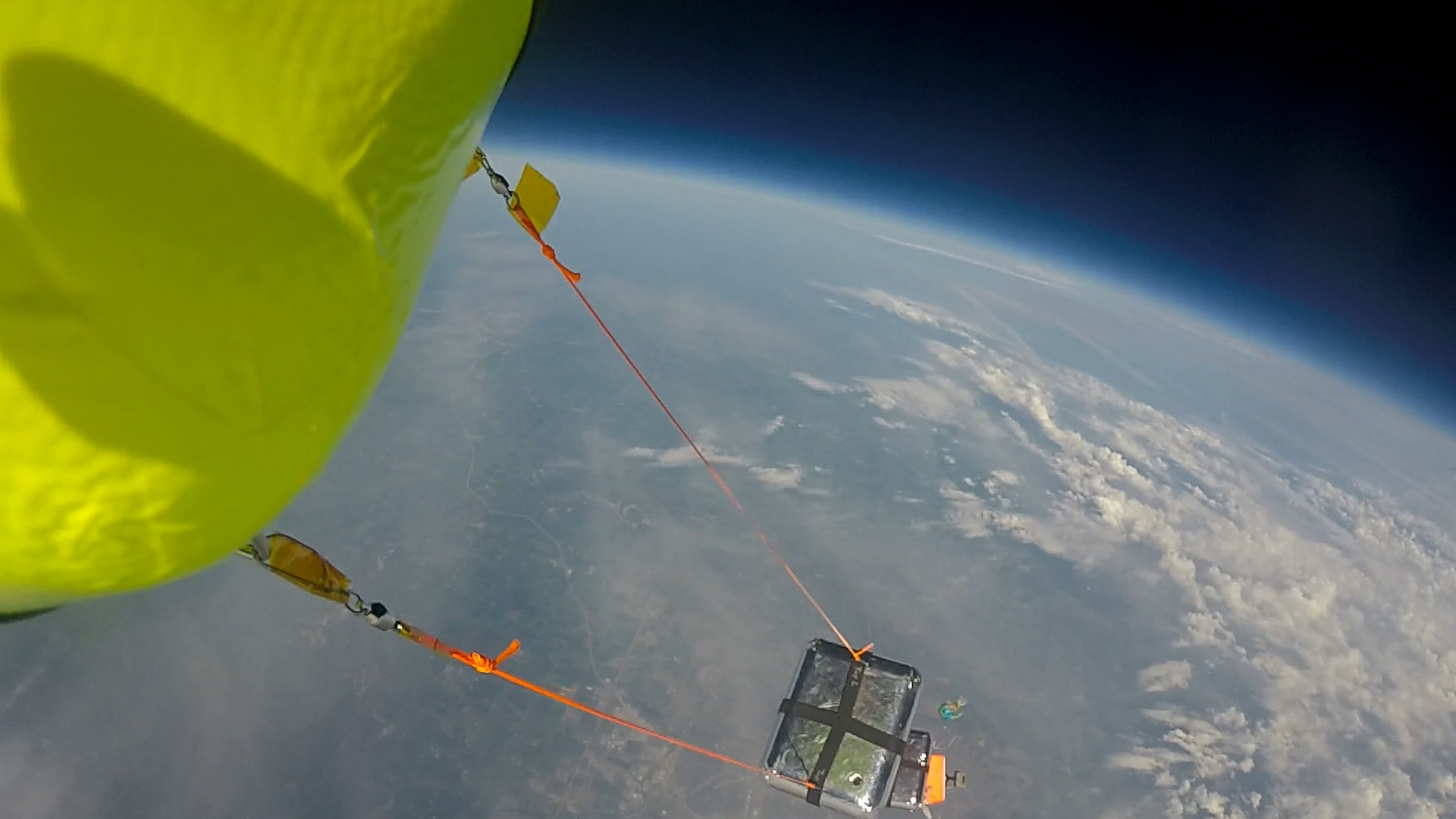
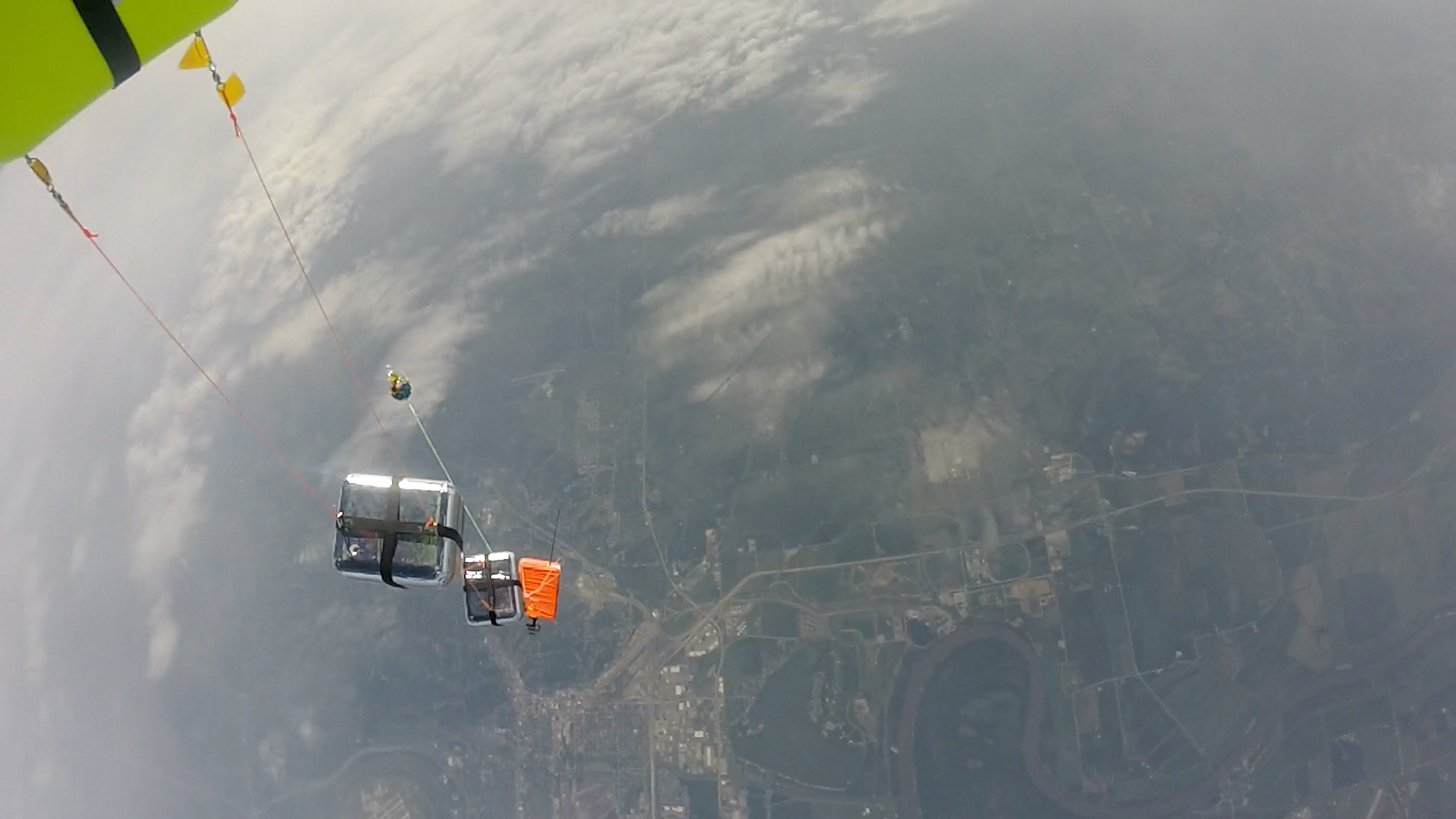
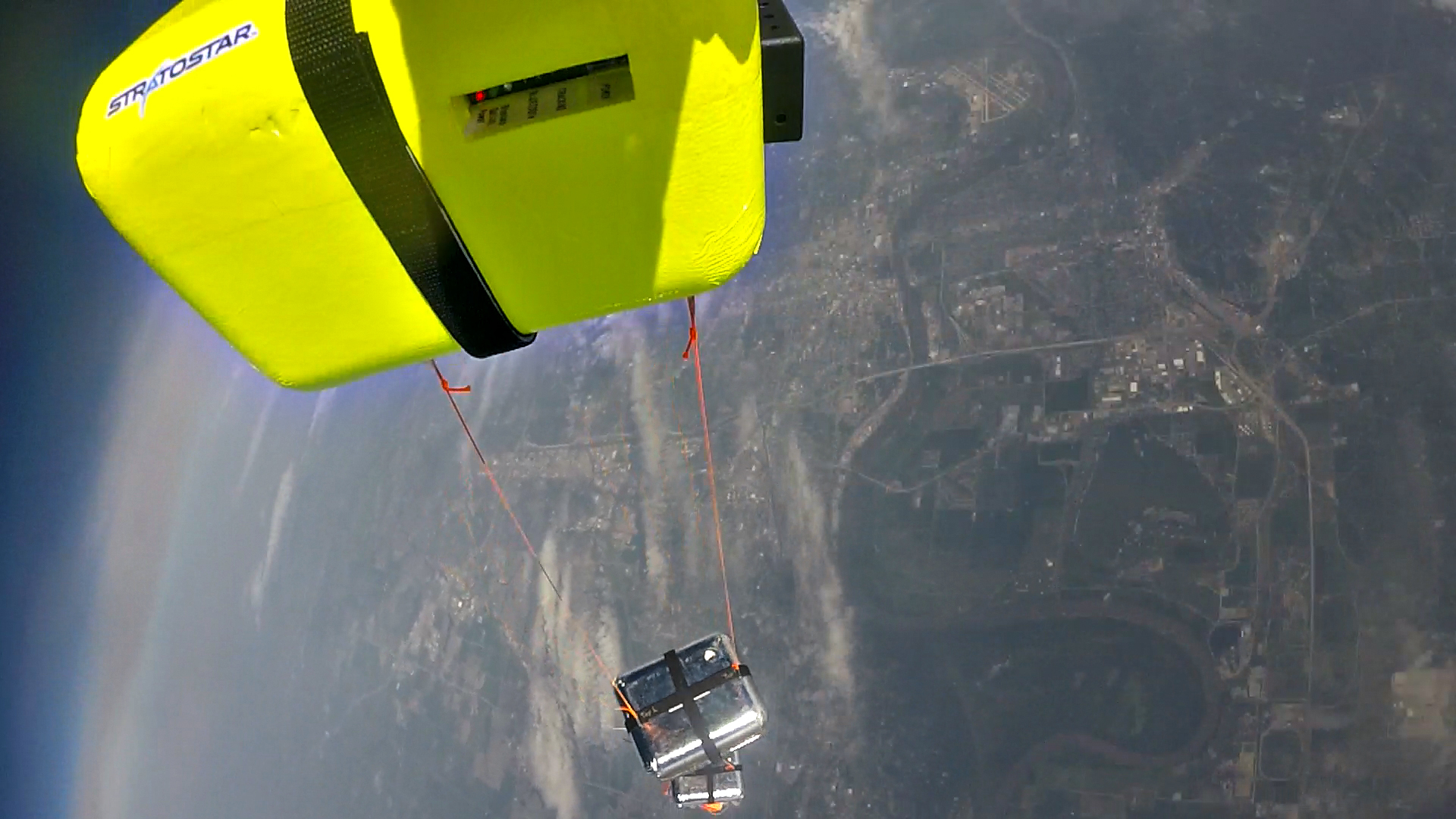
Here are some photos taken from the Go Pro cameras in flight.
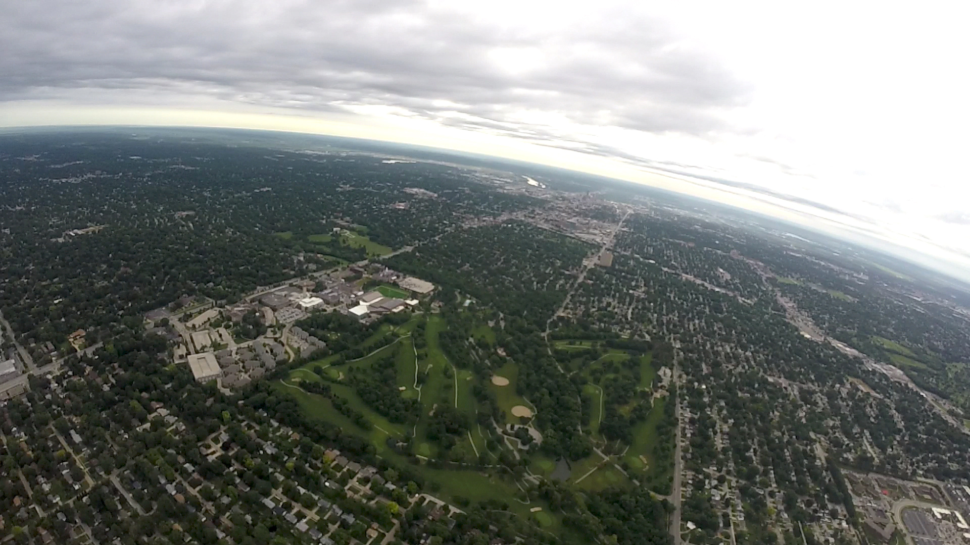
PKI at UNO.
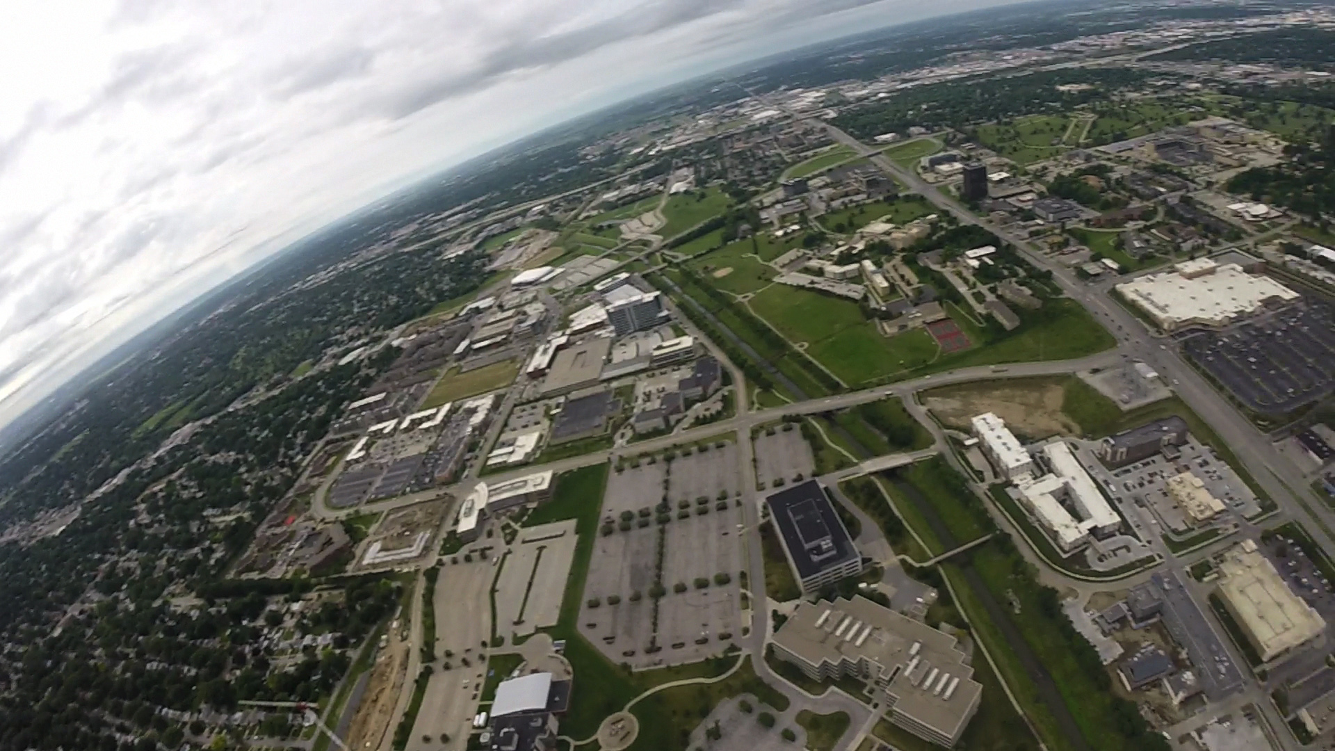
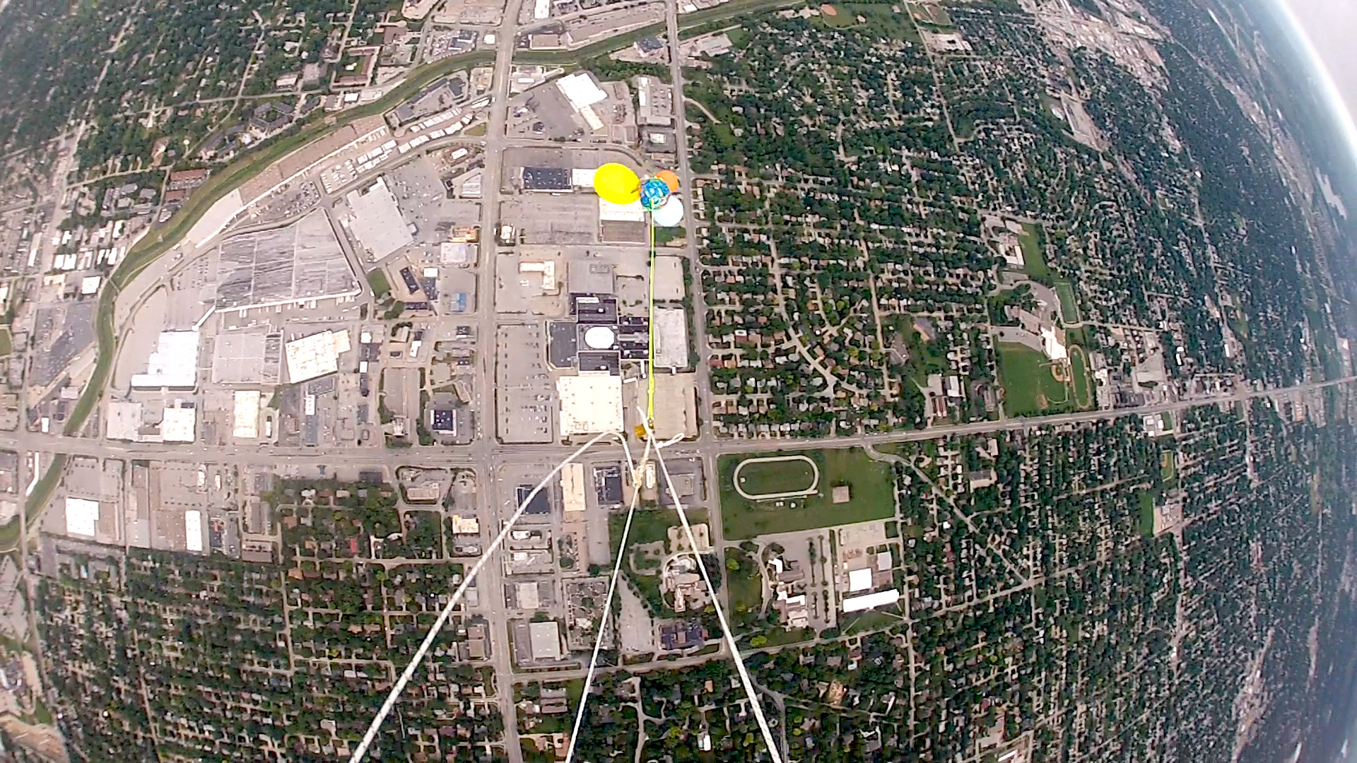
Elmwood Park Golf Course
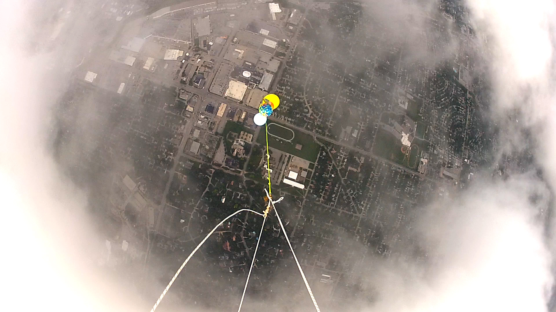
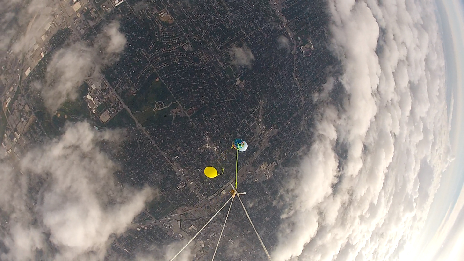
Between the cloud layers.
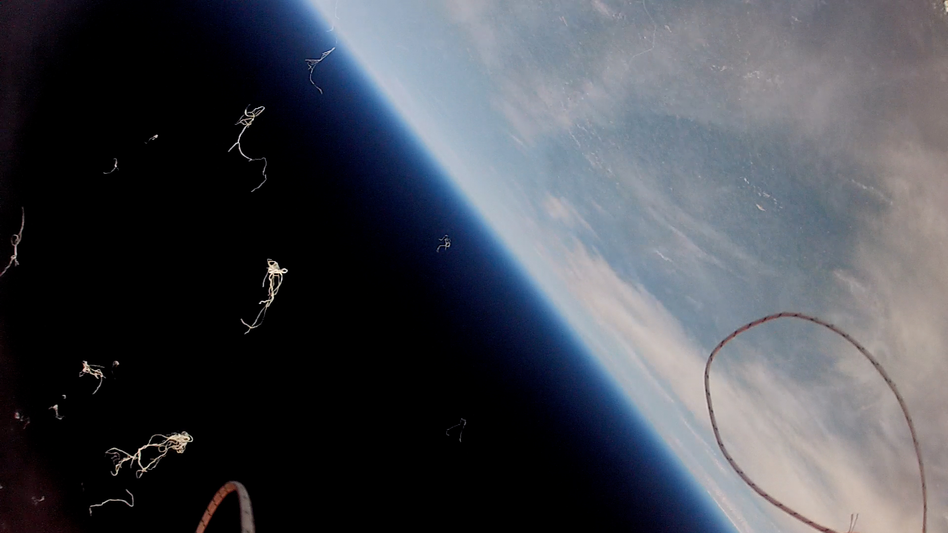
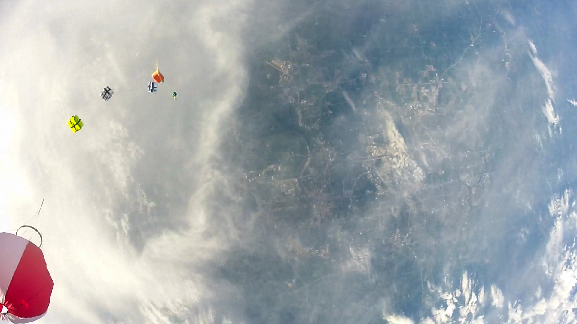
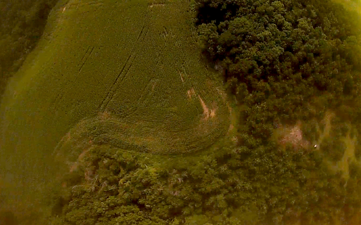
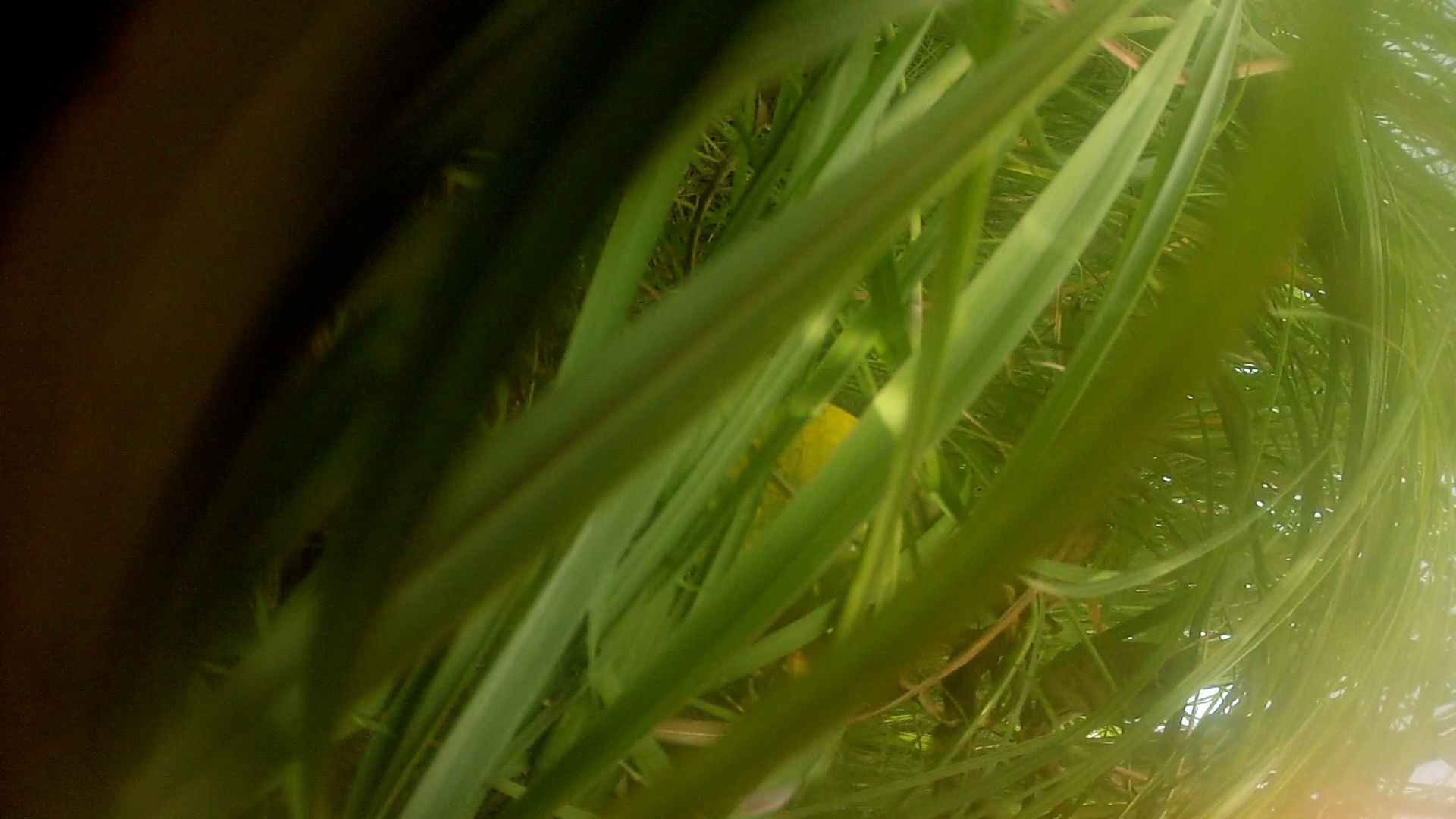
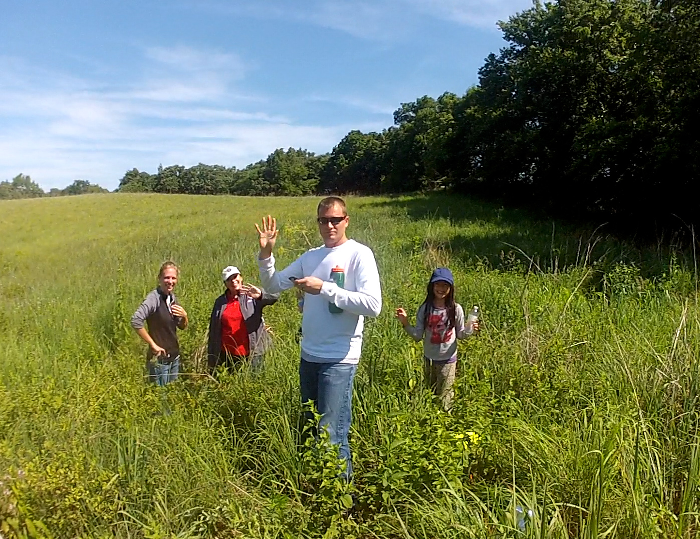
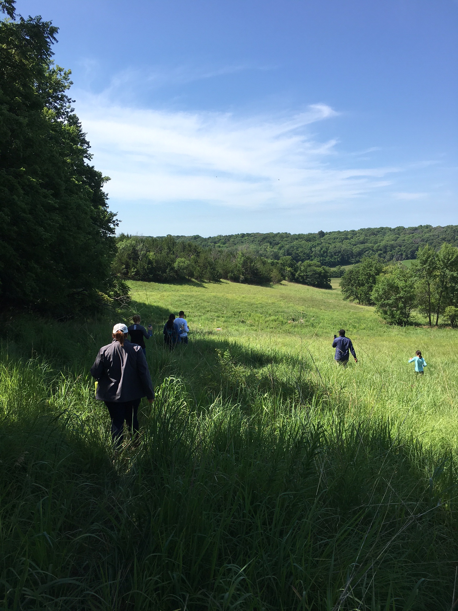
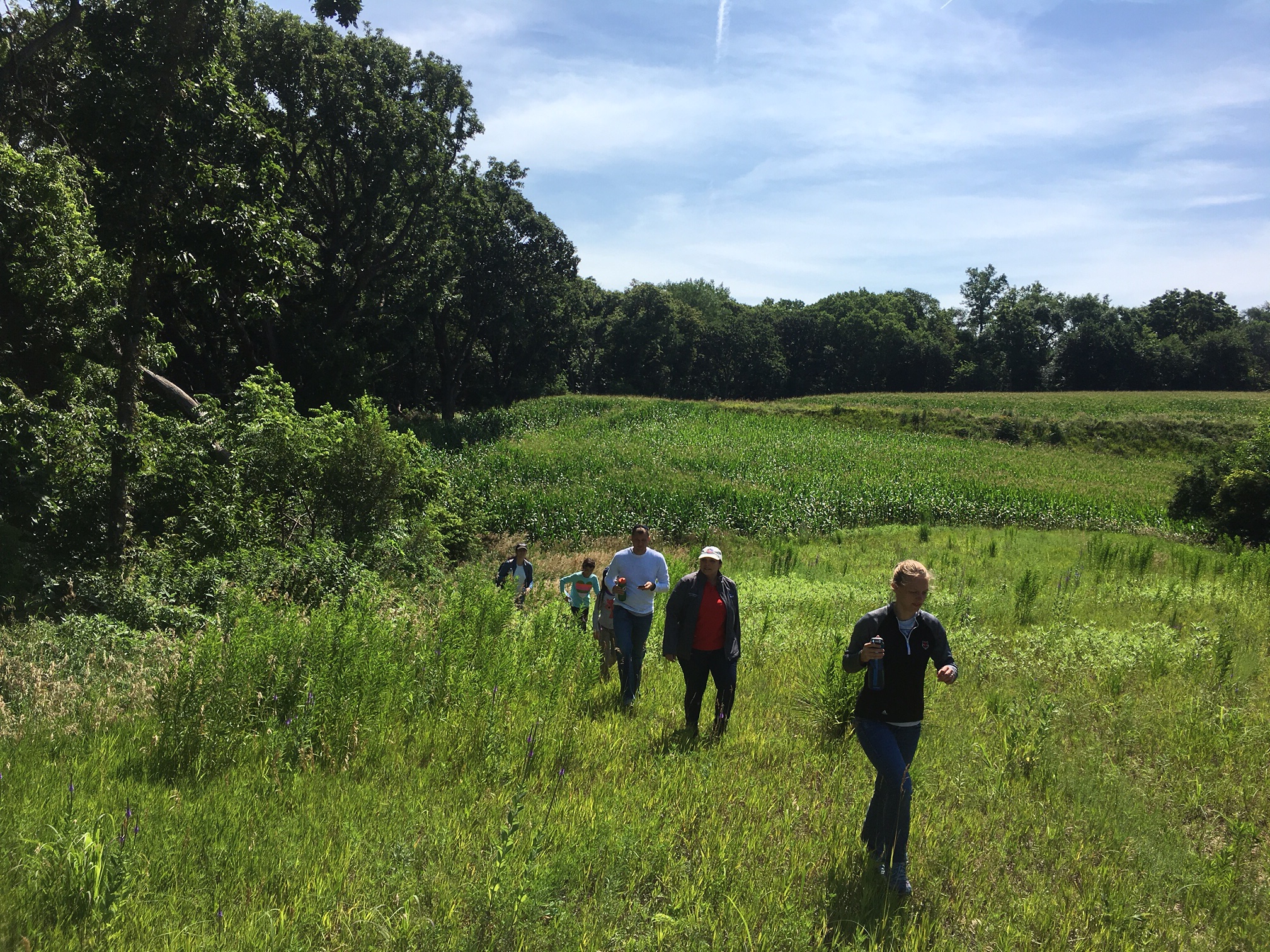
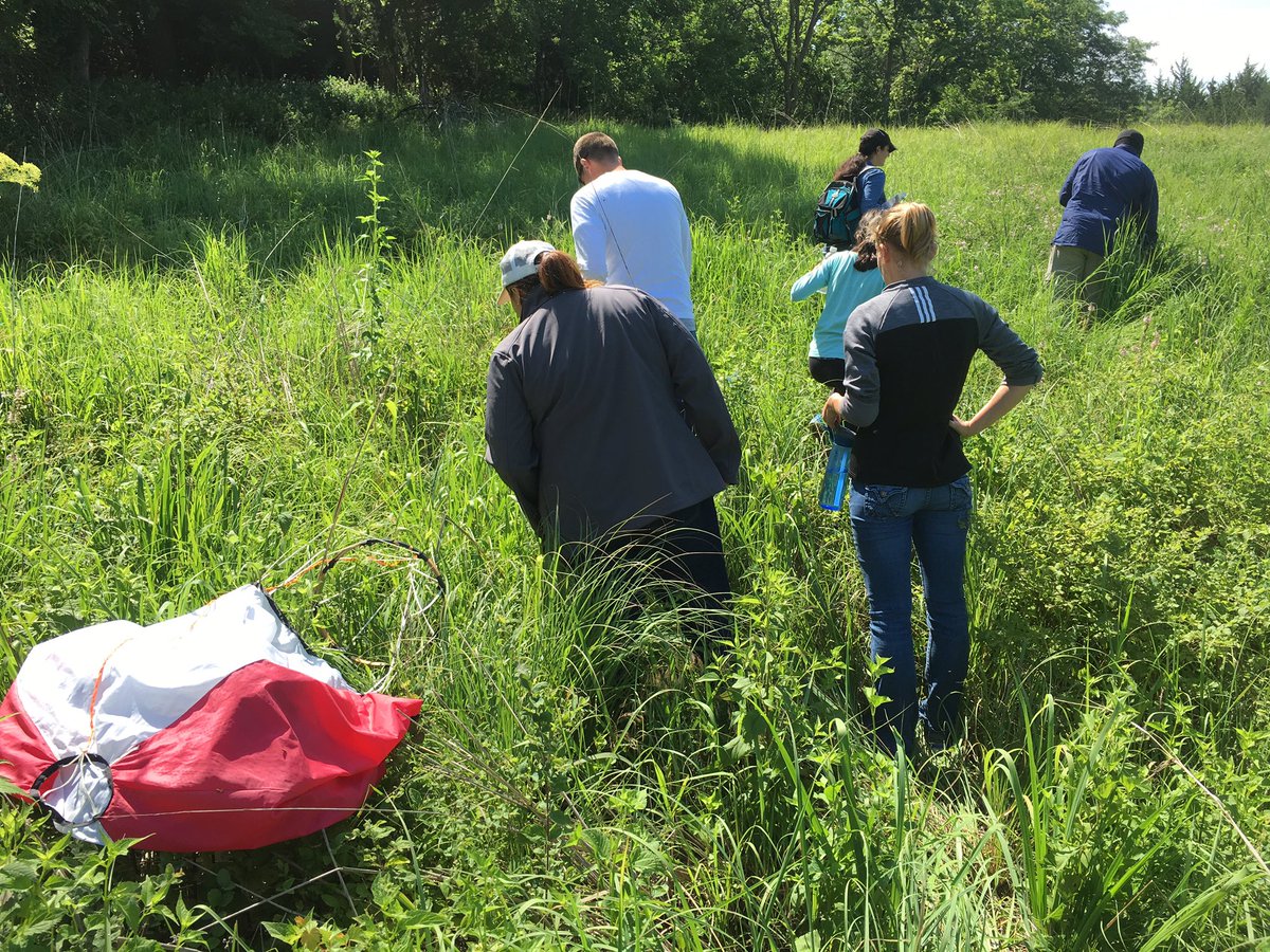
It landed in a field of tall grass, narrowly missing two corn fields and several lines of trees.
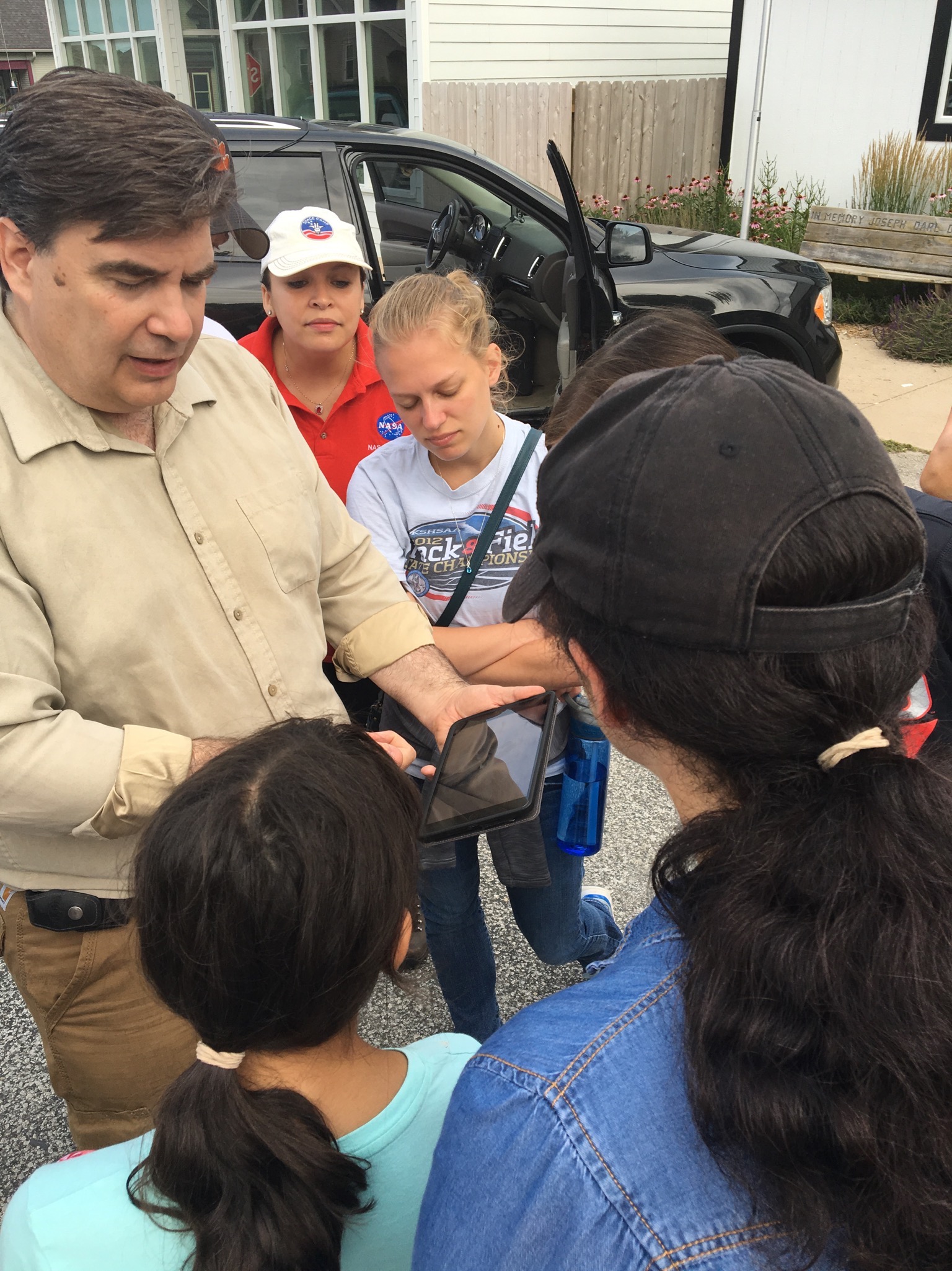
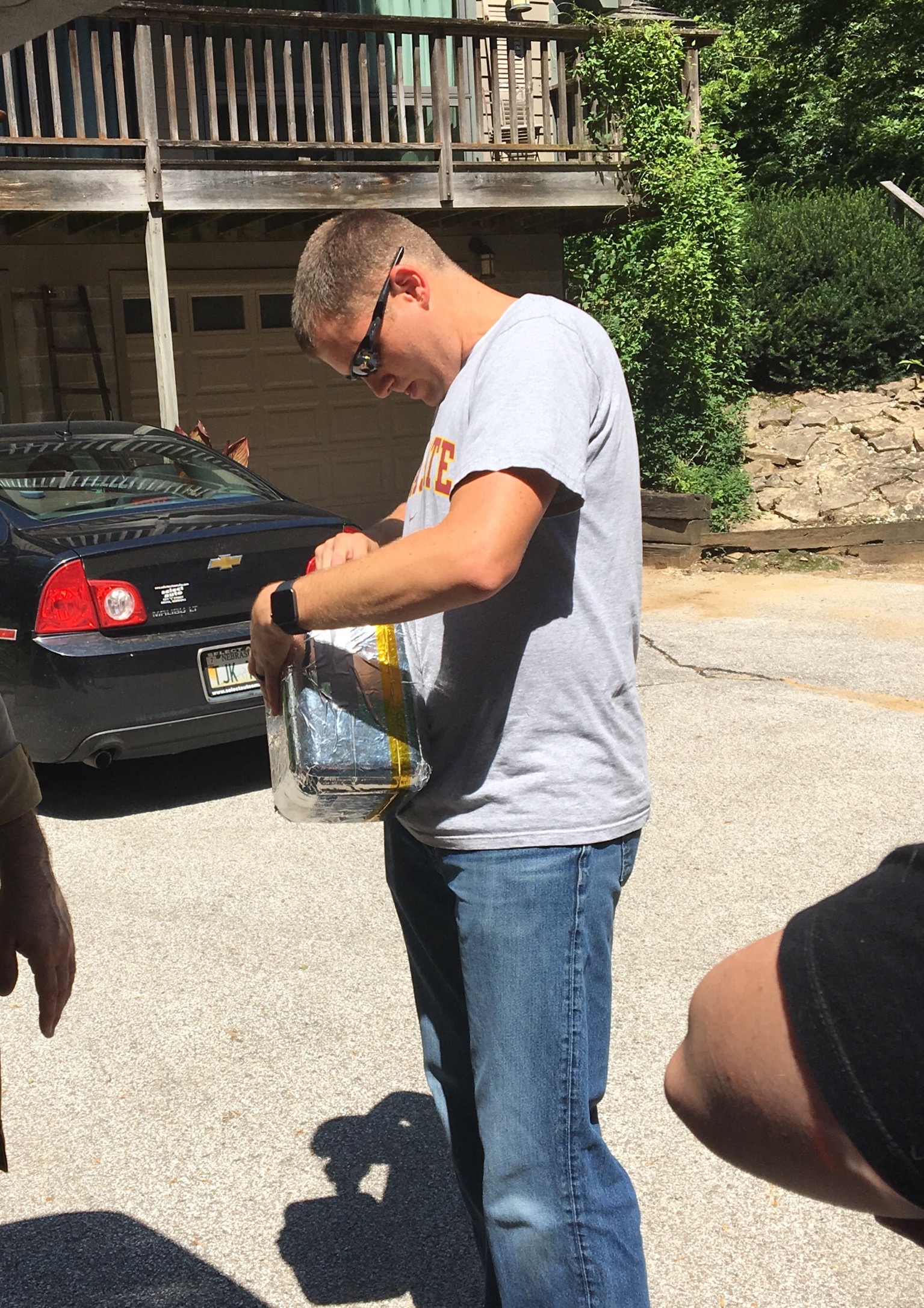
Upon taking the SPOT (the tertiary tracking) out of the new, shiny, silvery experiment pod, it was still transmitting and we almost immediately received the coordinates. So, the reflective material acted as a Faraday cage and did not let the signals out.
Lesson learned.
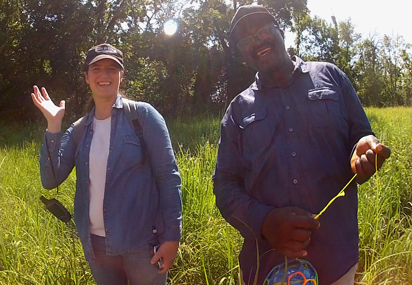
Congratulations Aerospace Educators on a successful HAB flight and recovery!
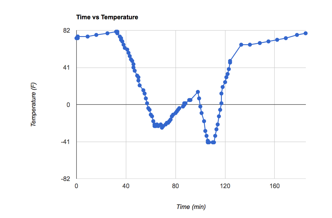
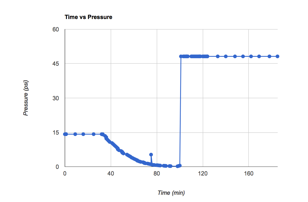
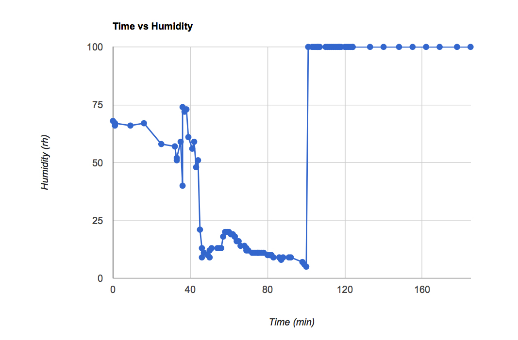
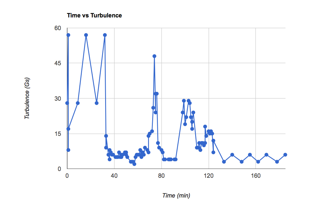
*Edited to add screenshots of the graphs from the flight. The altitude and temperature graphs look fine. However, something happened during post-burst chaos (at about 90 min.) to the pressure and the humidity graphs. I doubt that it was at 100% humidity and over 45 psi while it was on the ground. We will have to test the system to make sure that those sensors are working properly before we fly again.